Veluwe Wander Trail part 04
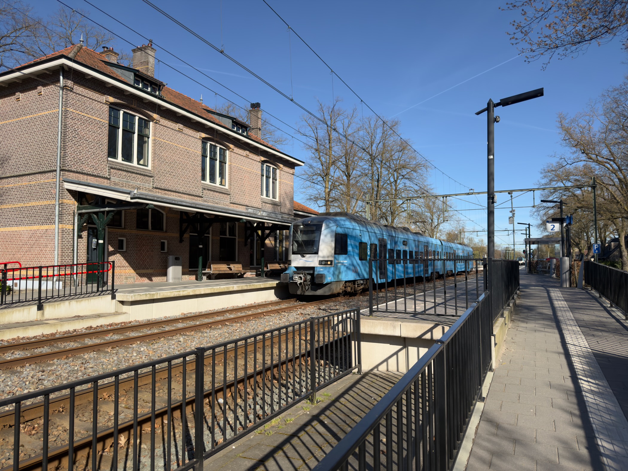
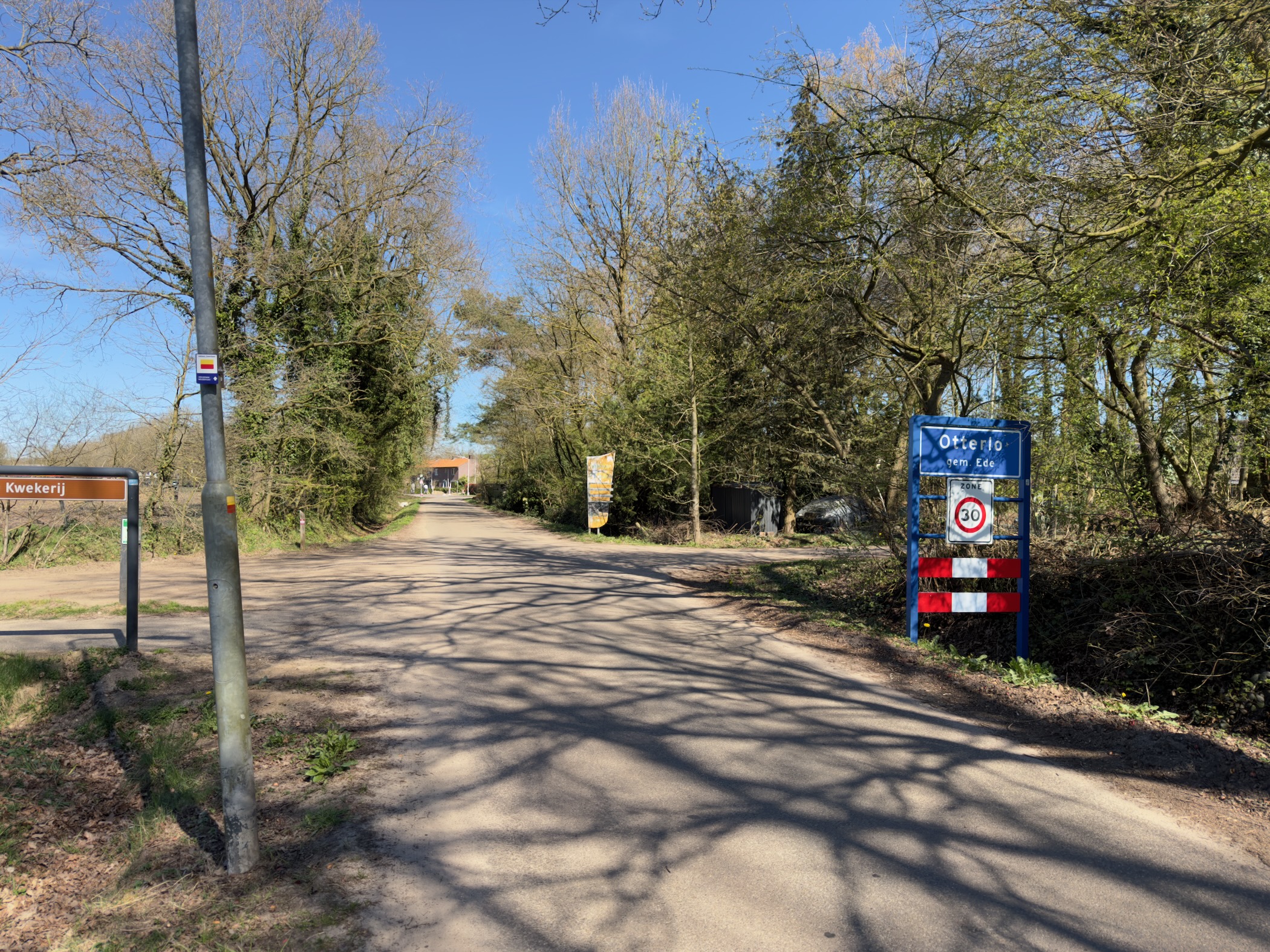
Hiked part 4/25 of the Veluwe Wander Trail, 17.3 kilometres from Lunteren to Otterlo.
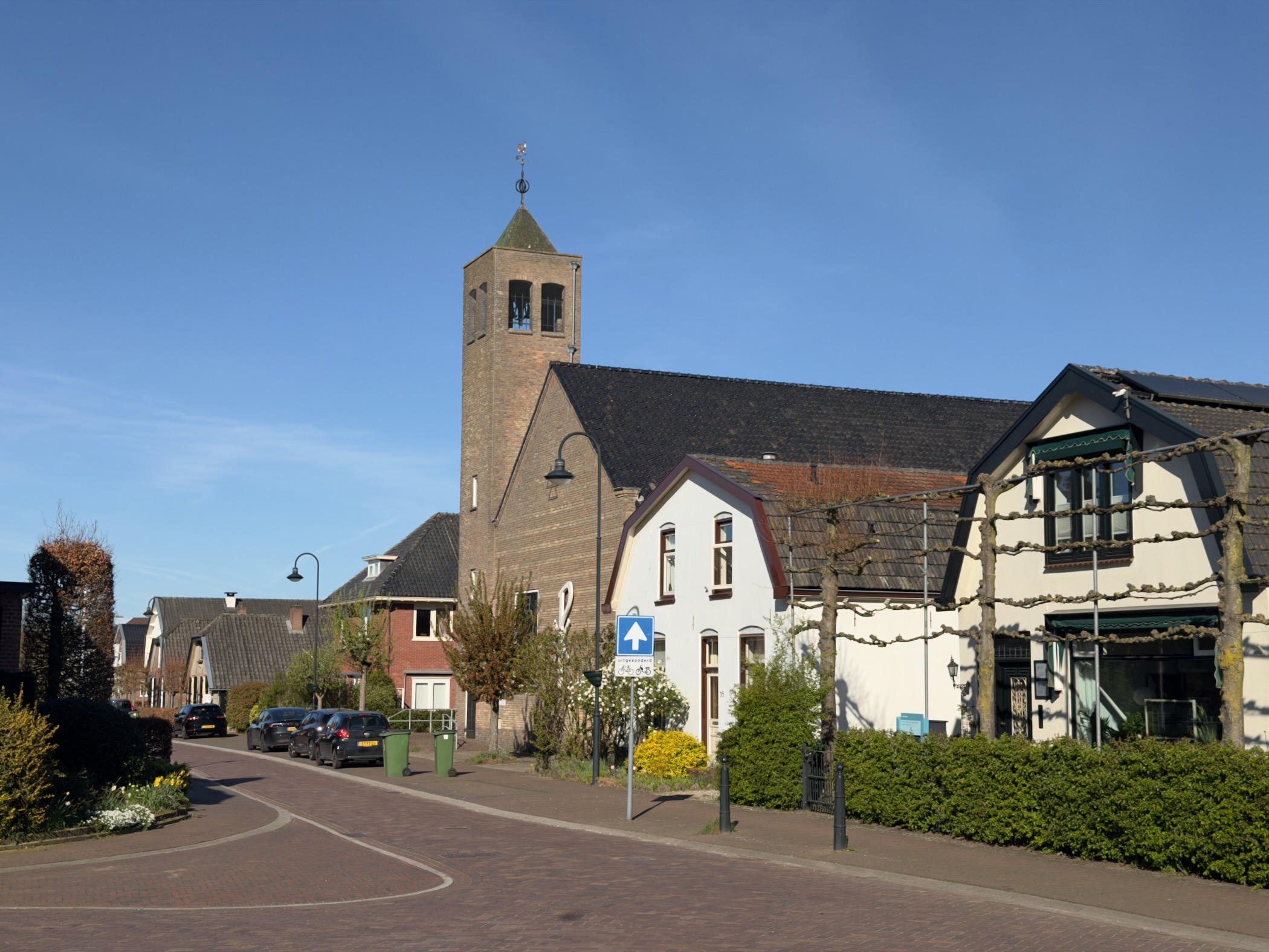
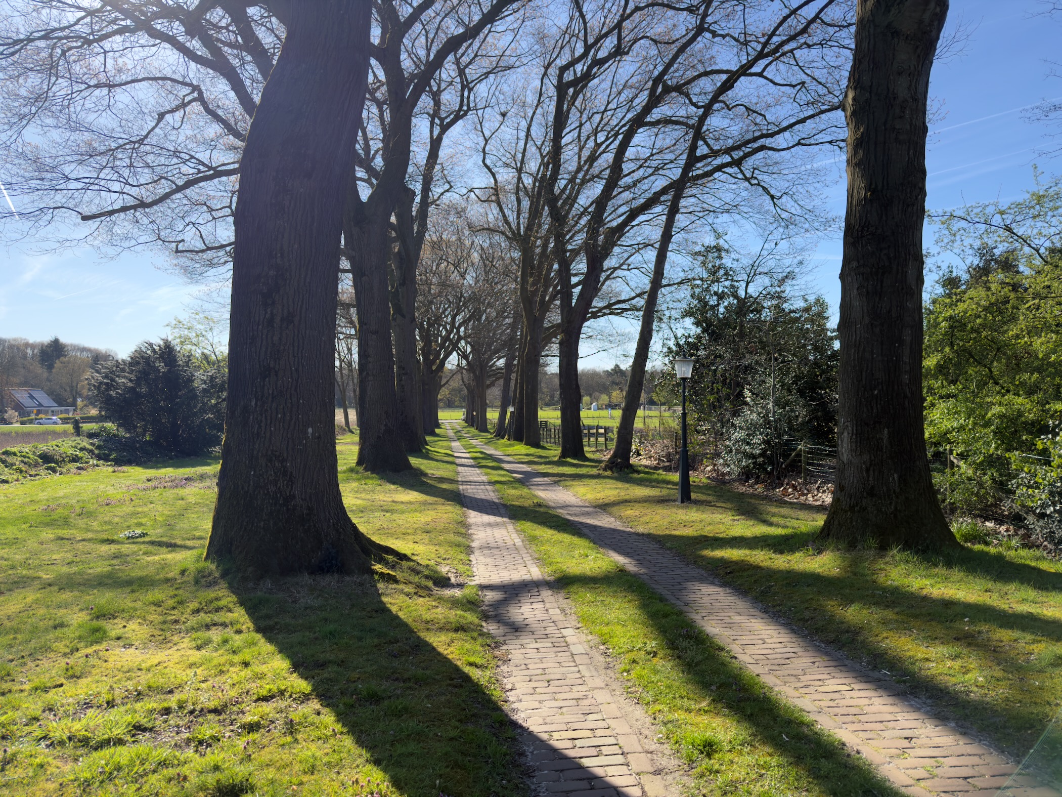
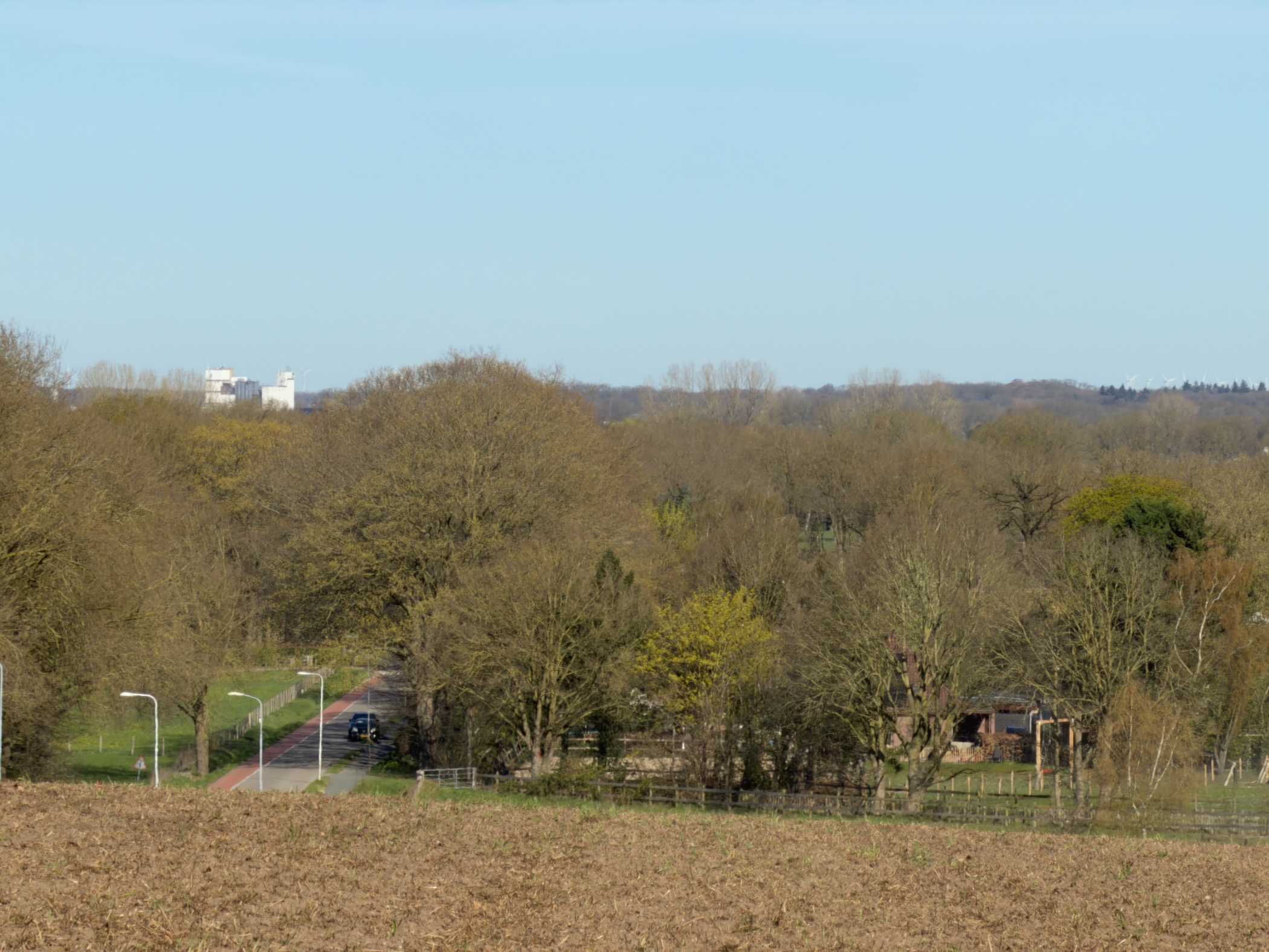
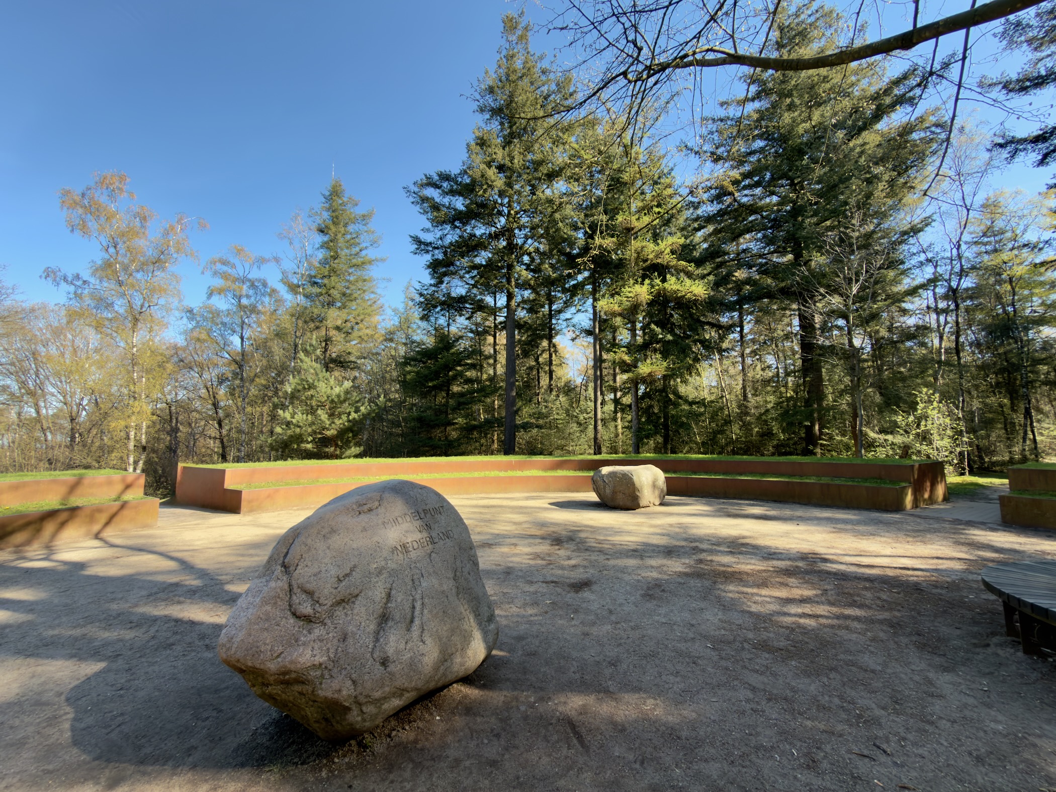
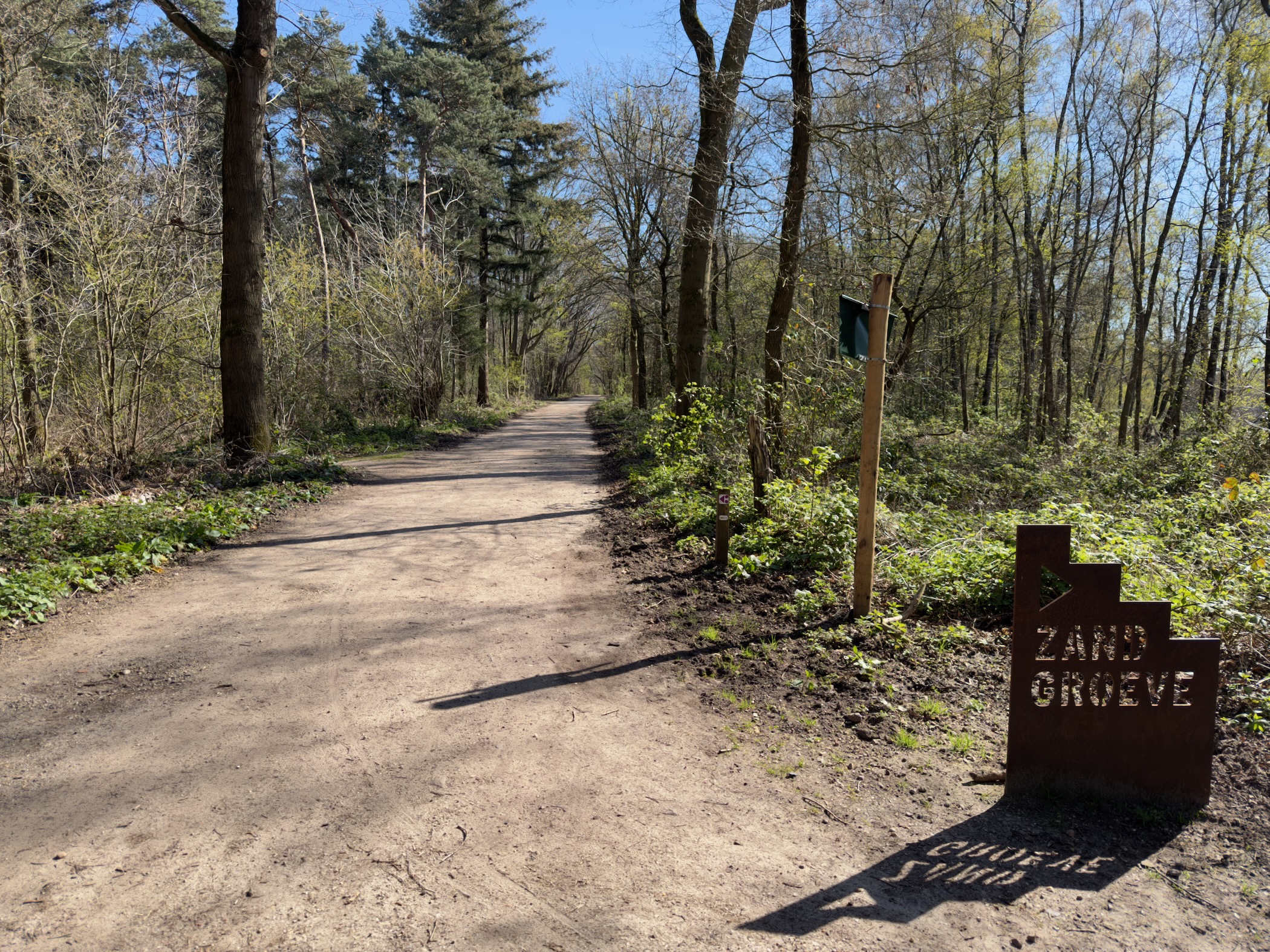
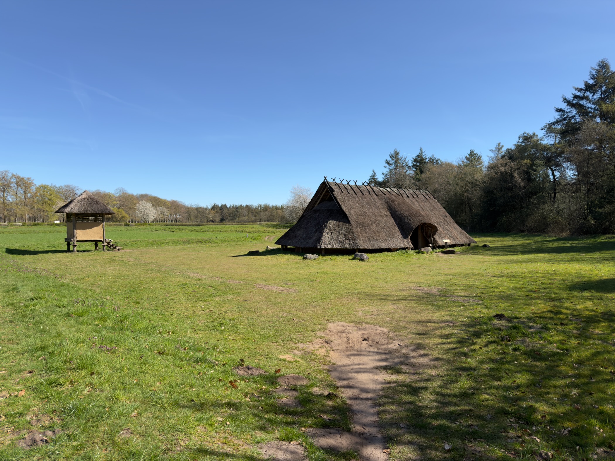
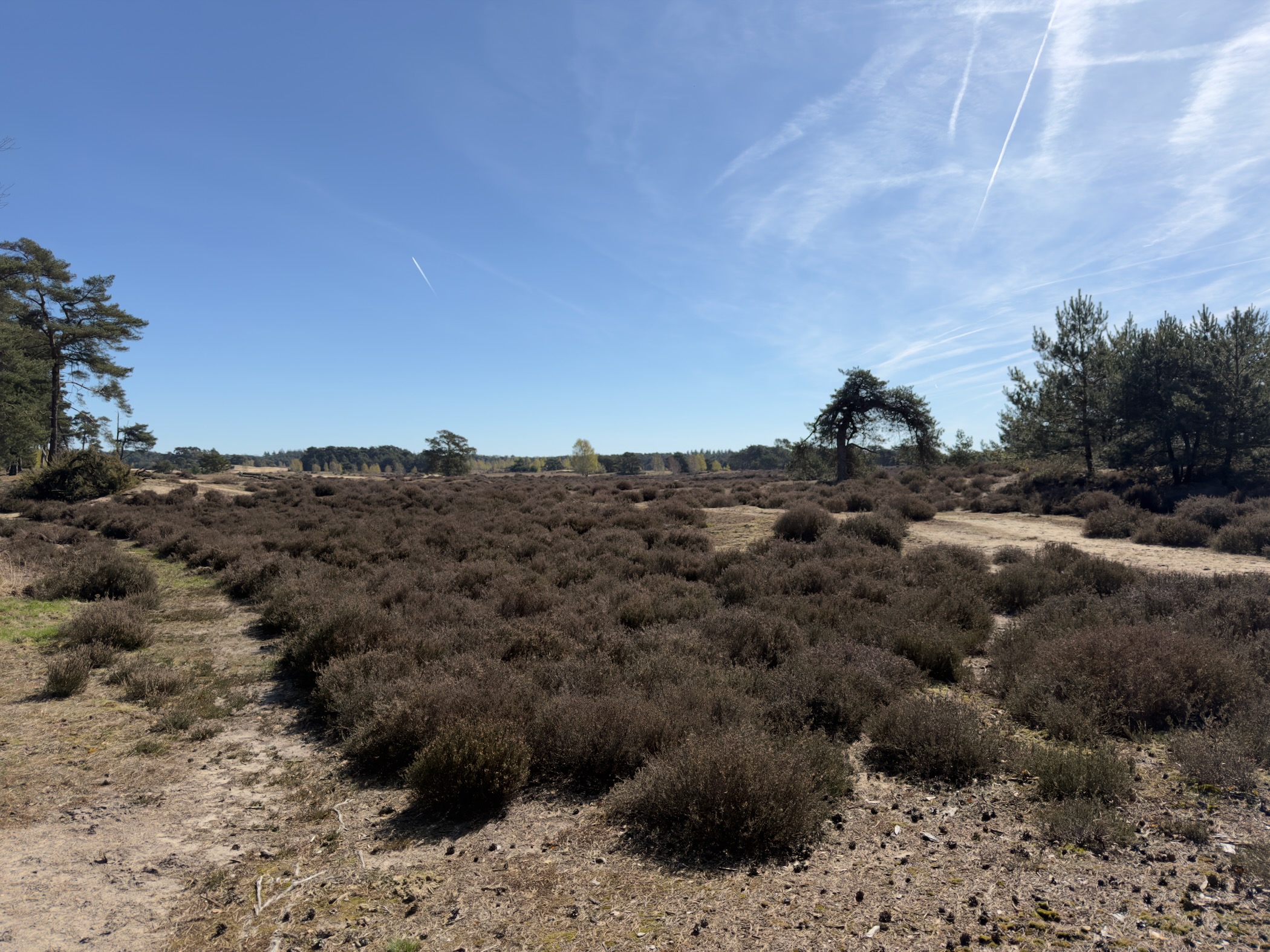
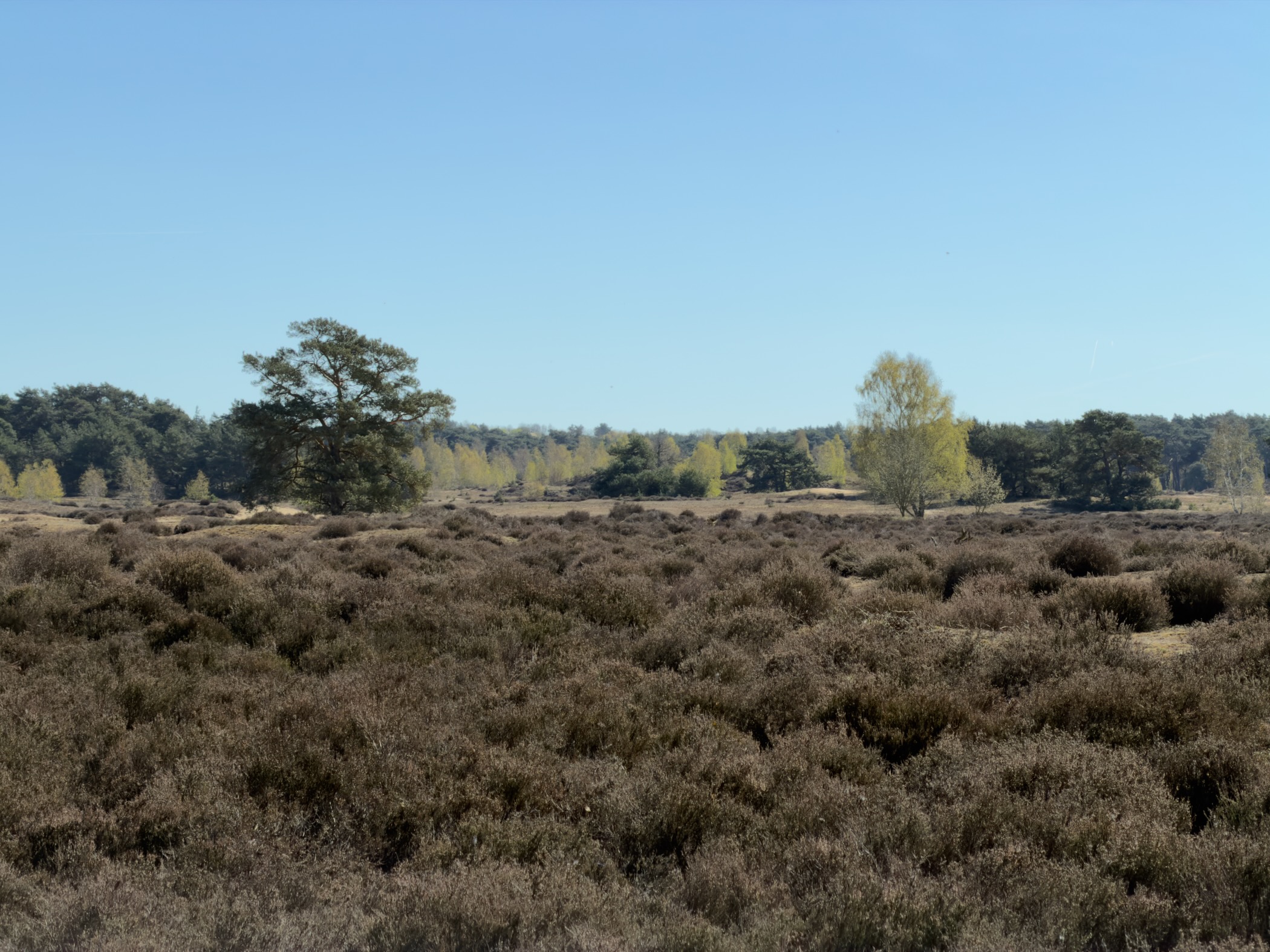
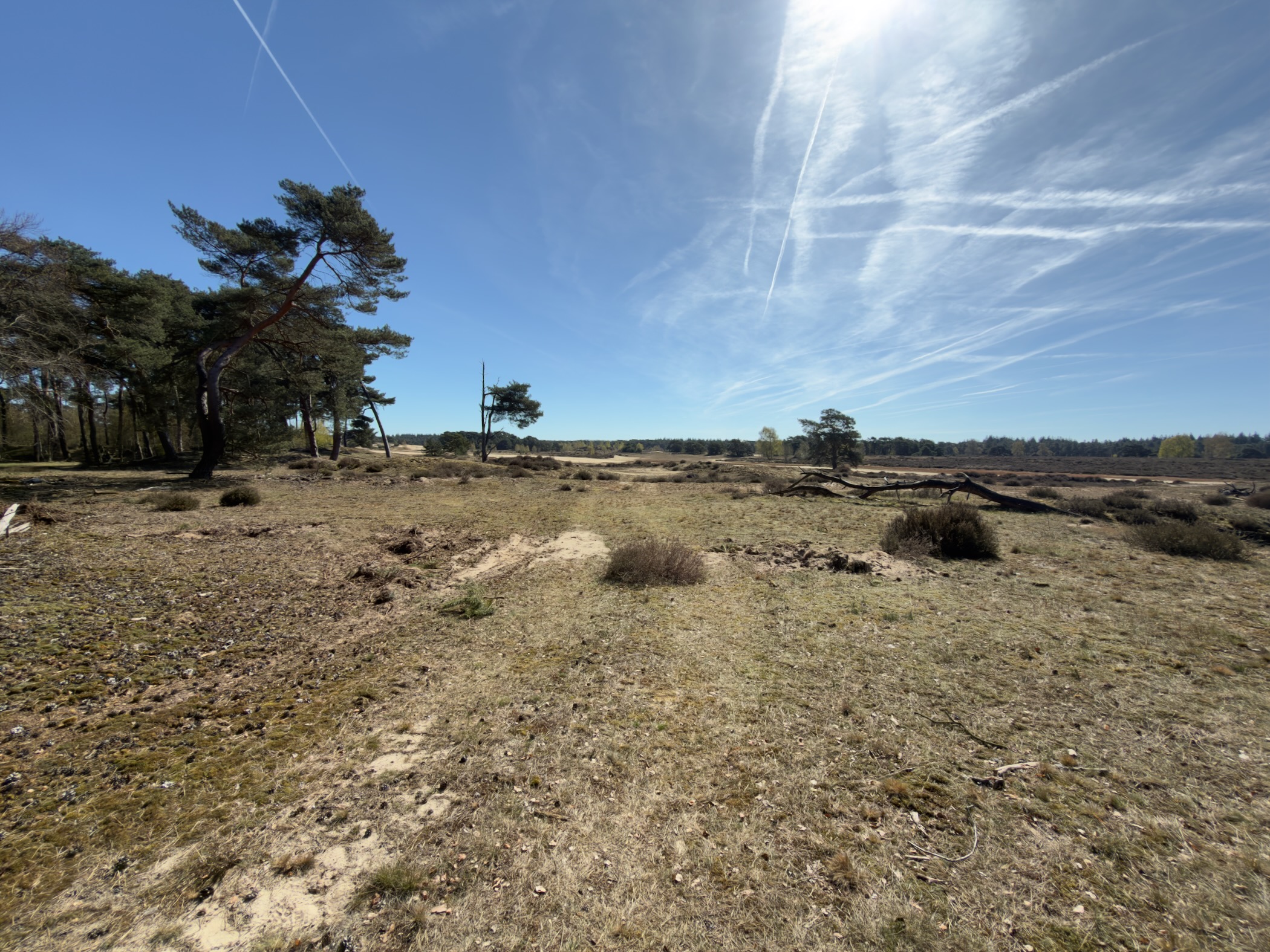
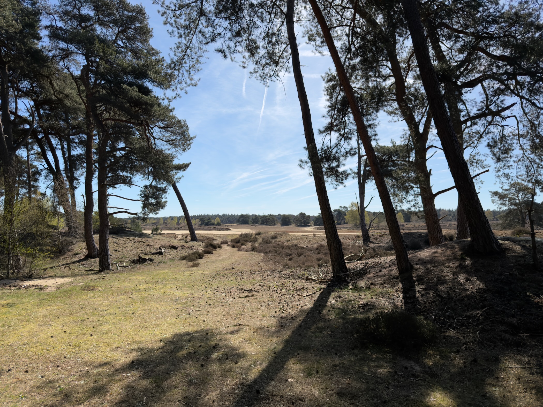
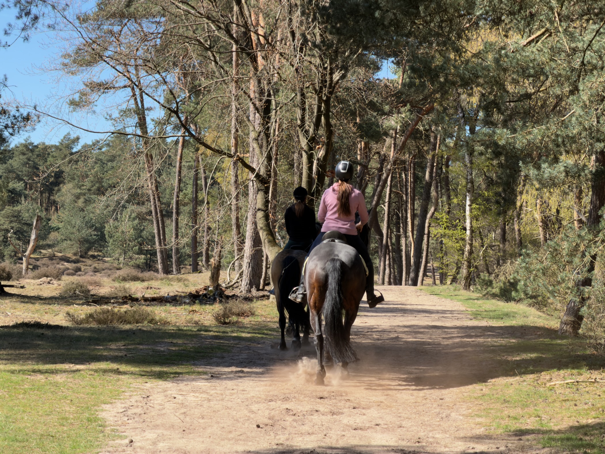
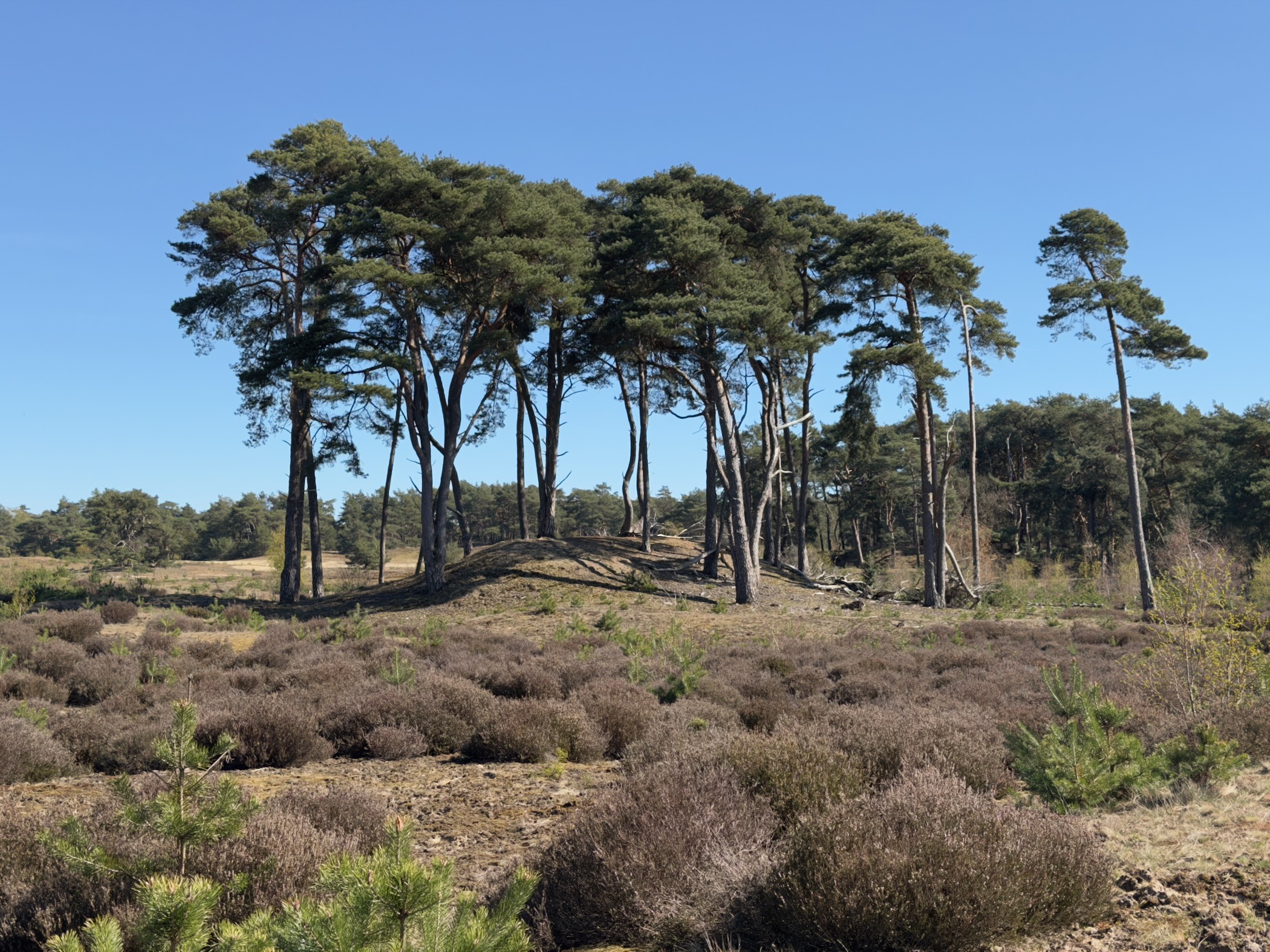
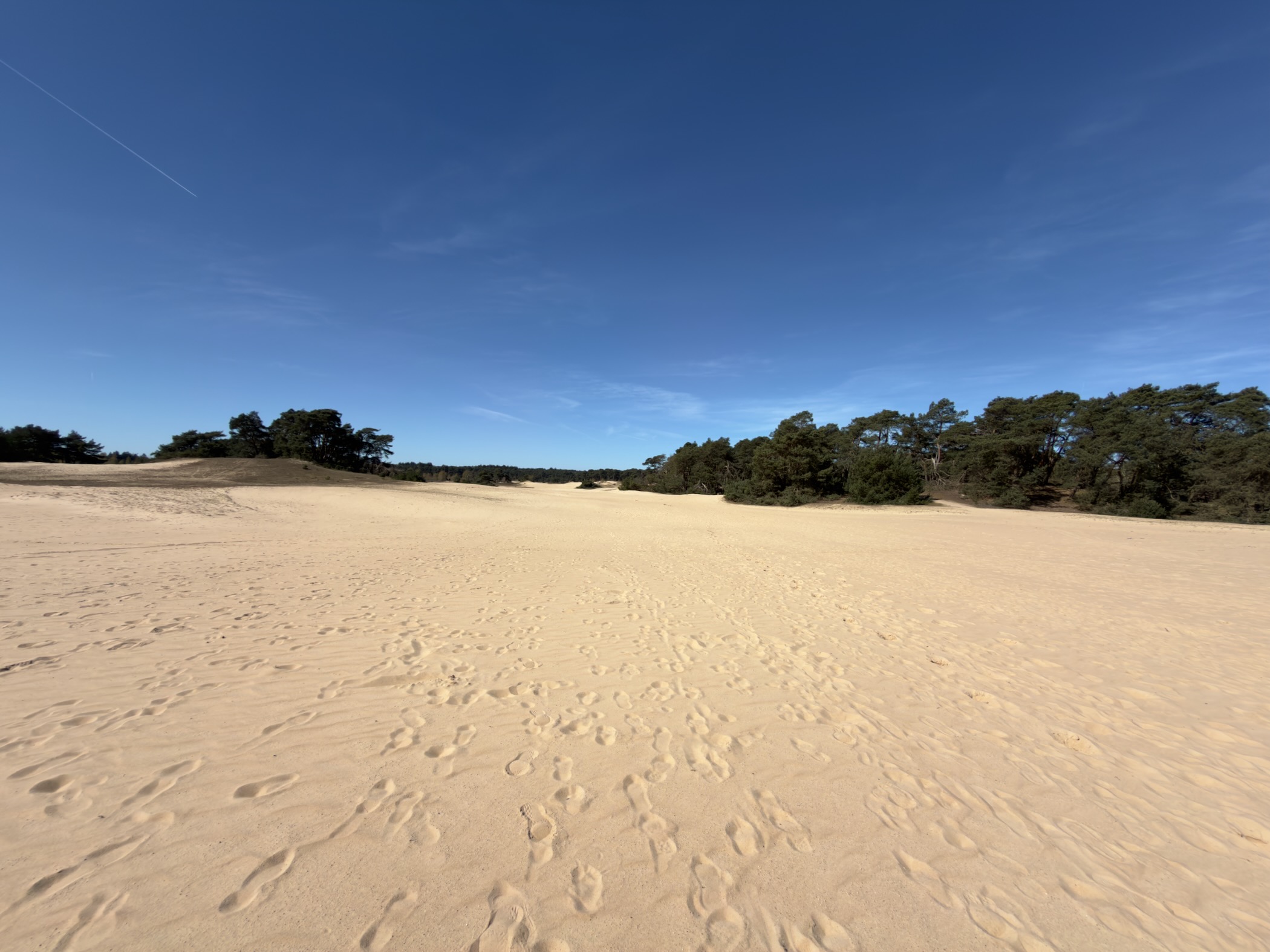
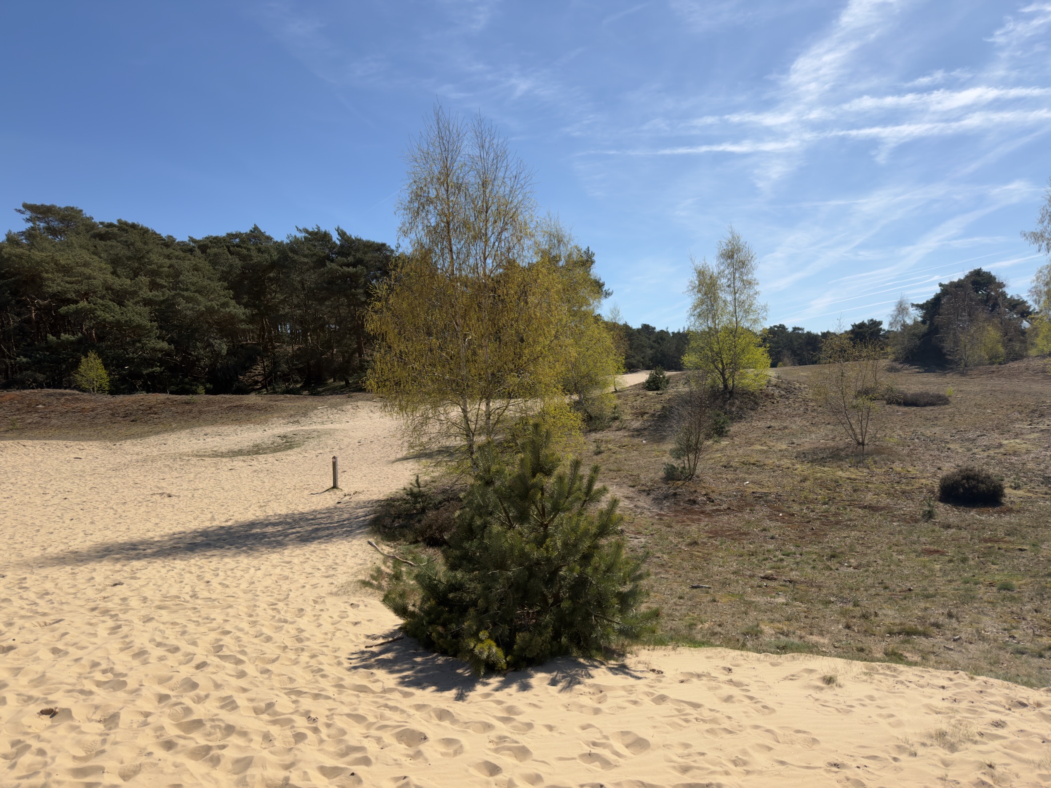
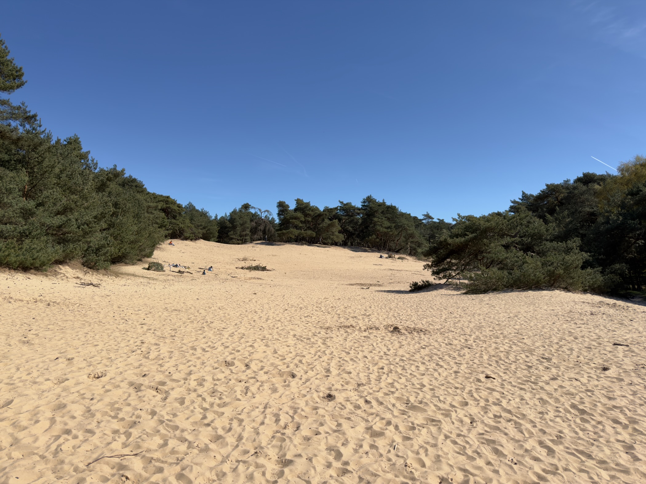
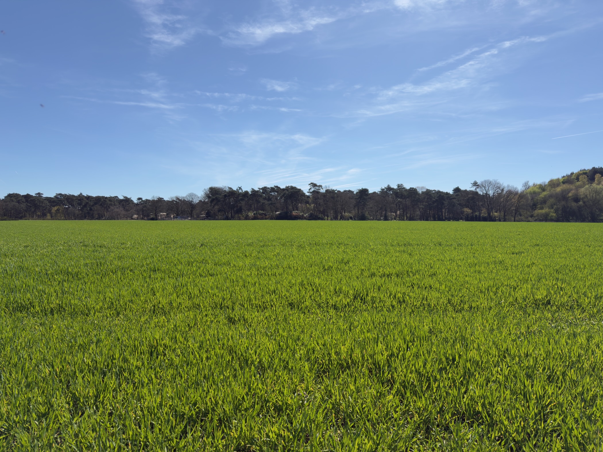
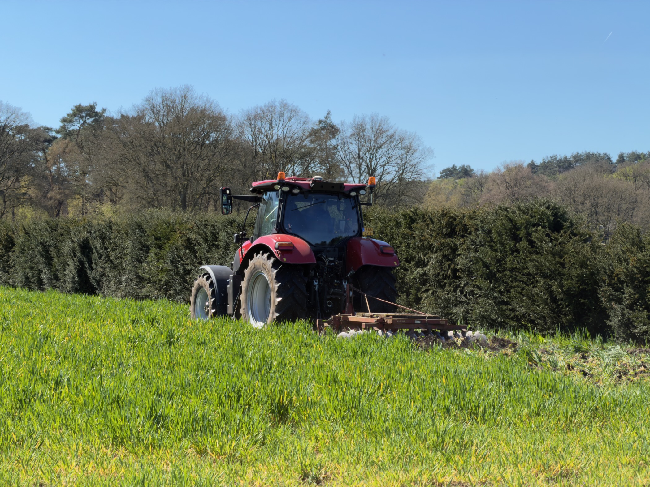
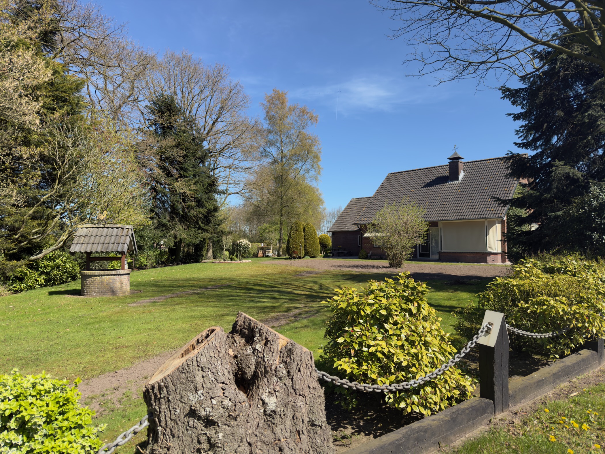
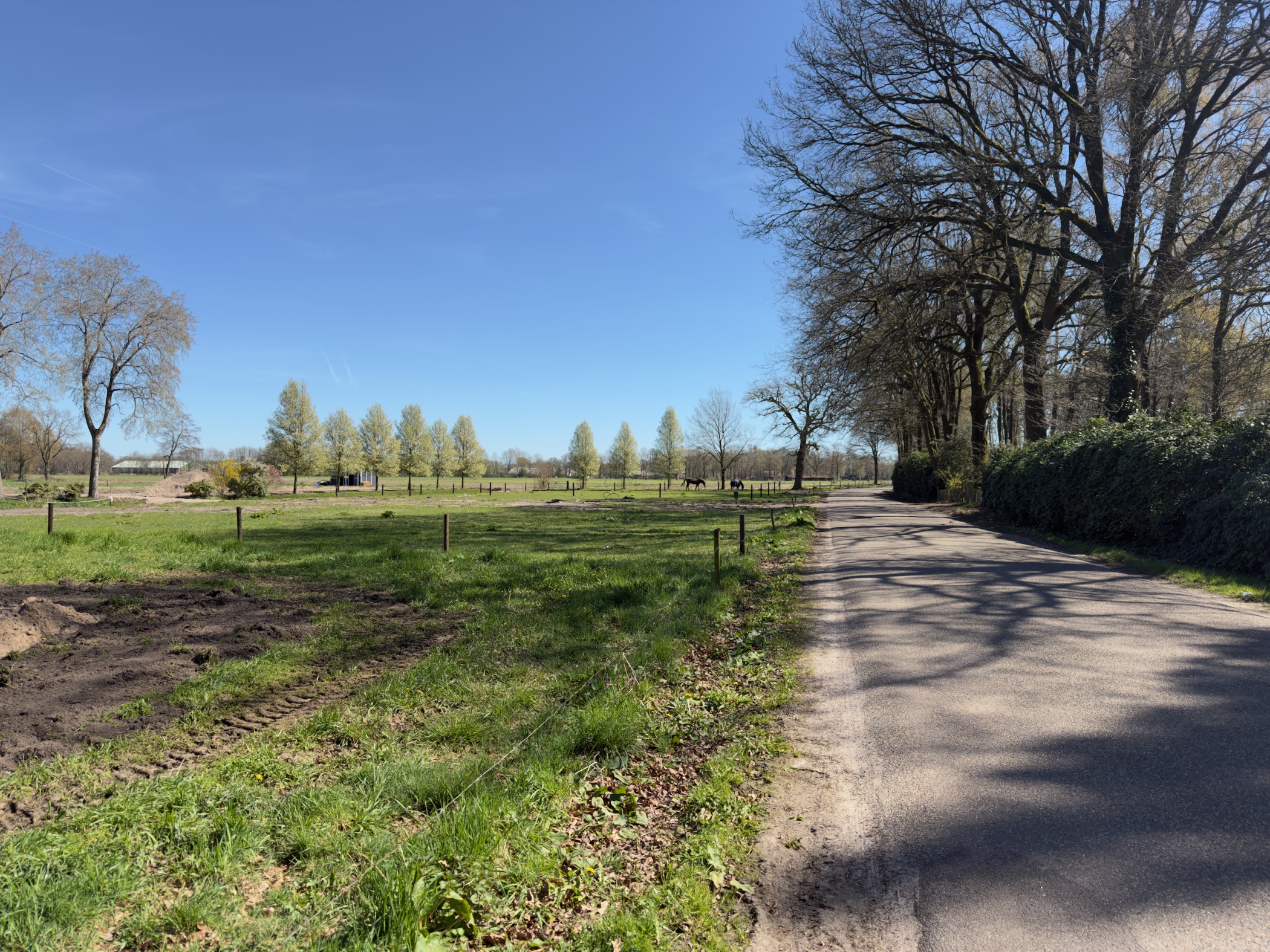
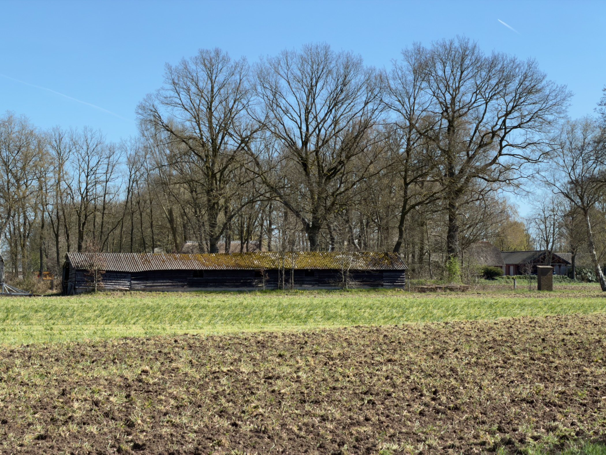
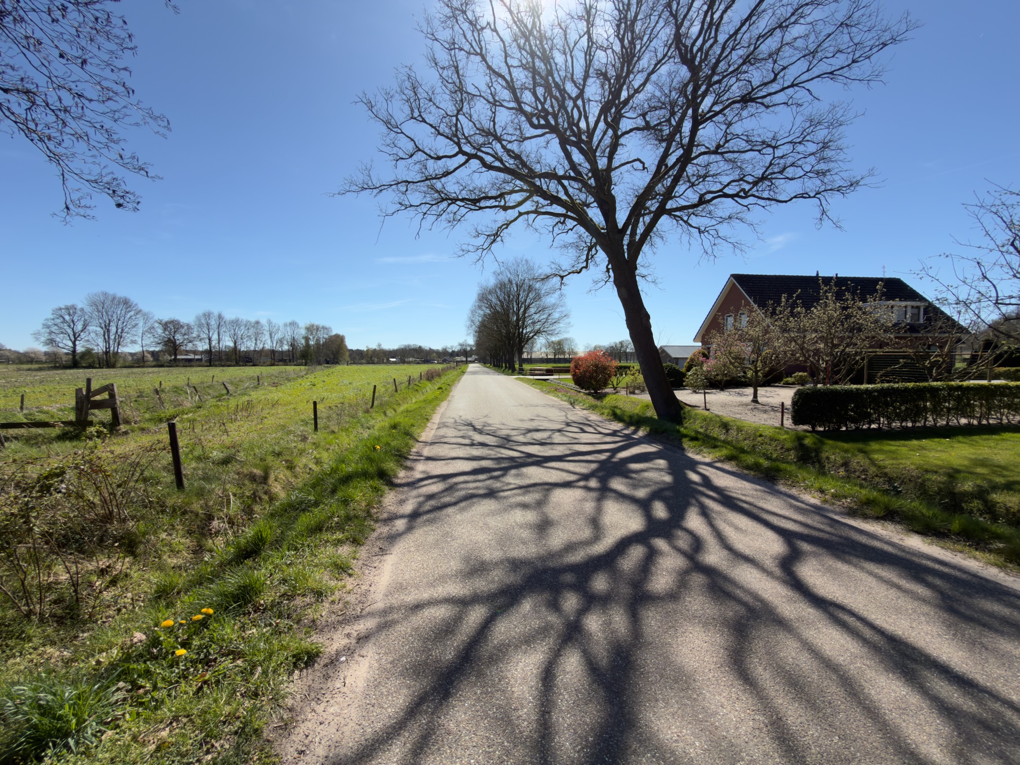
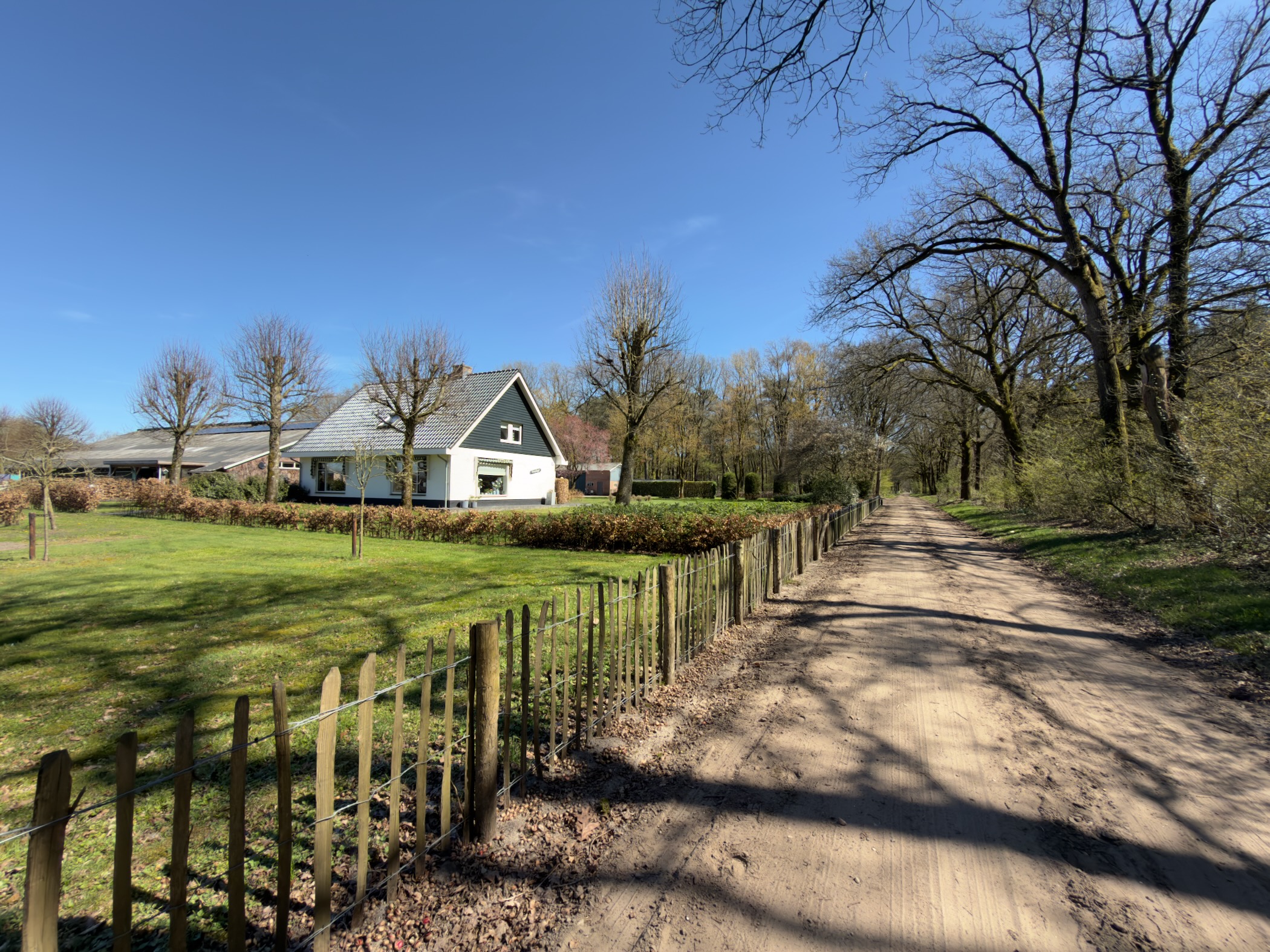
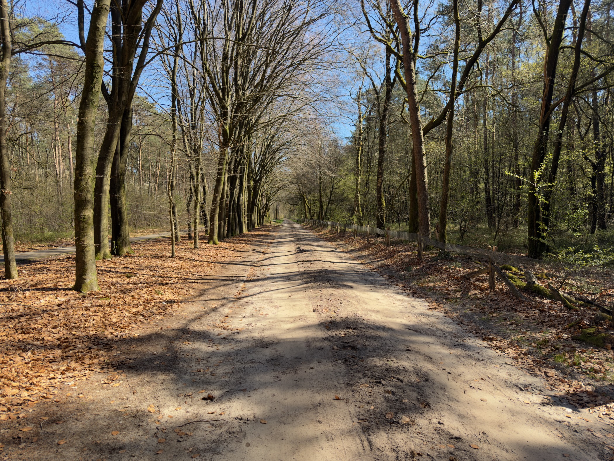
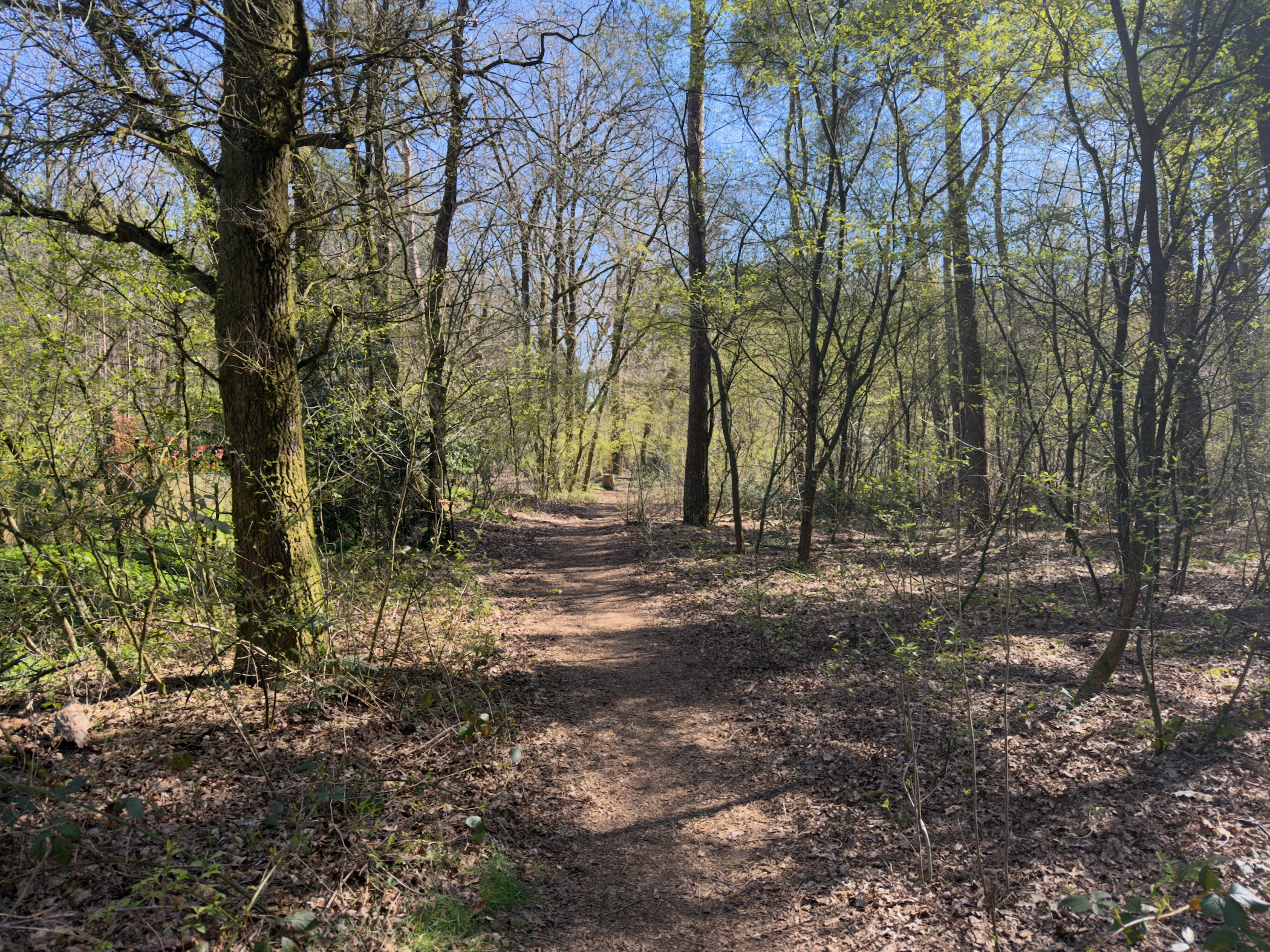
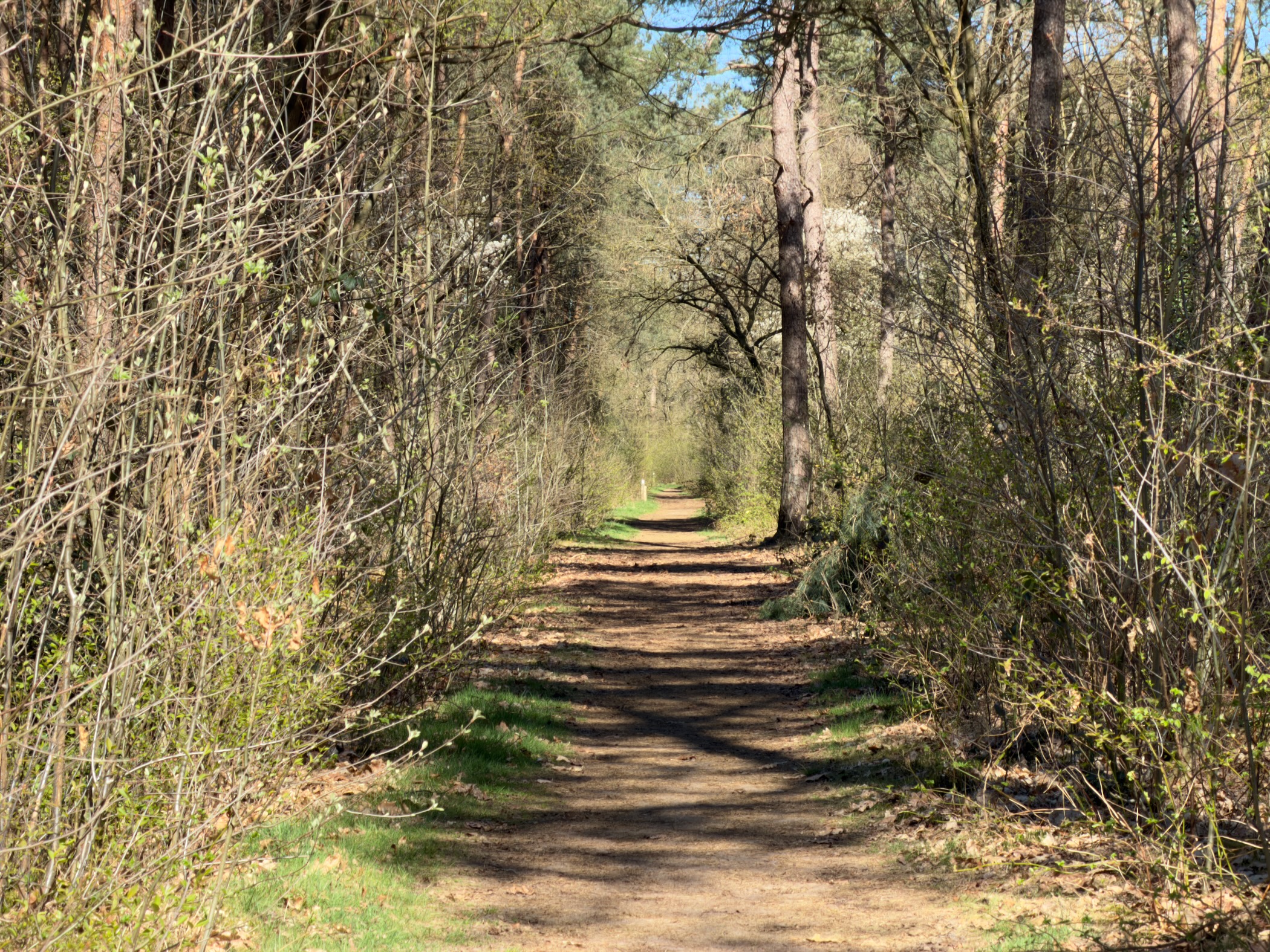
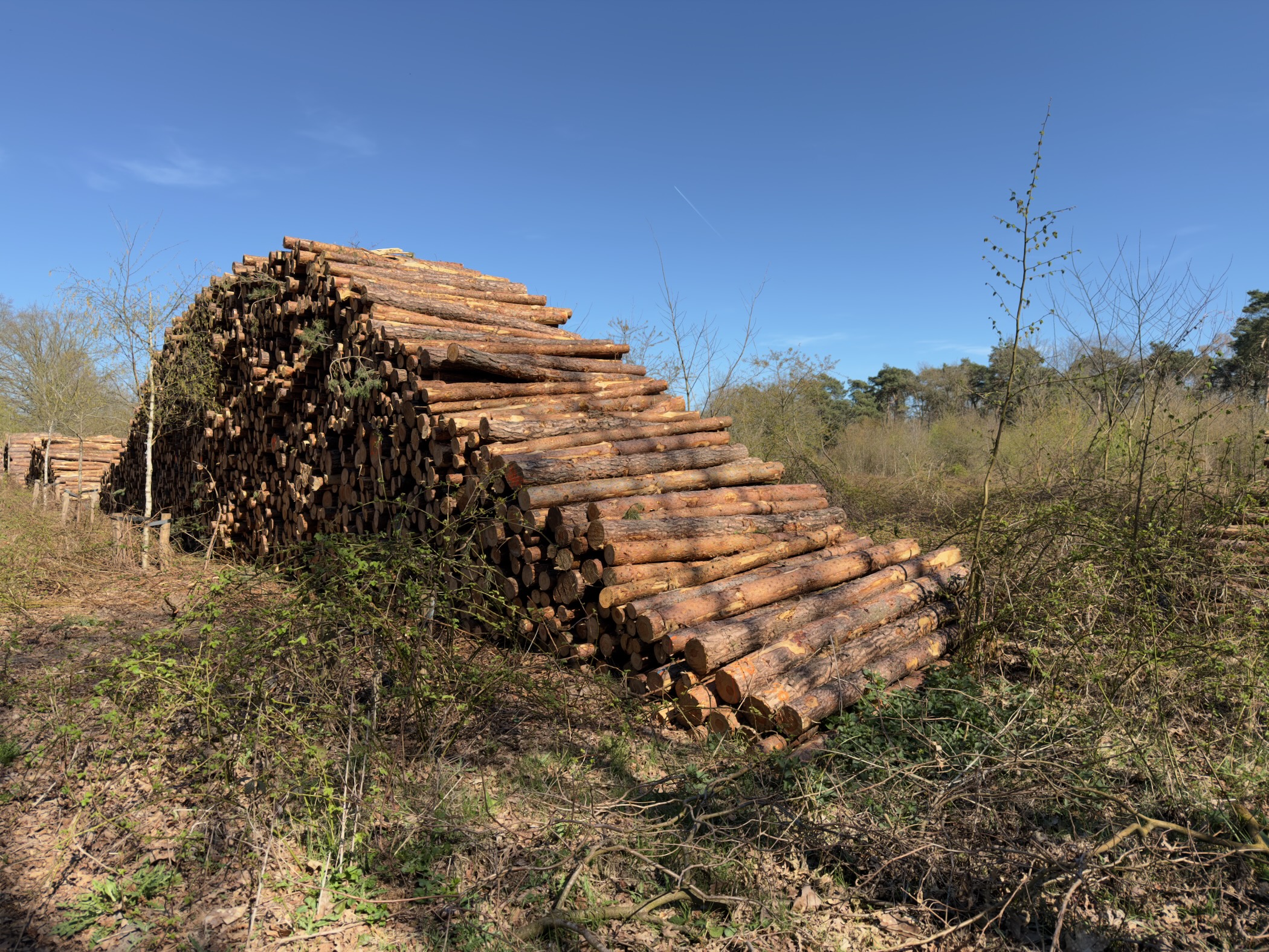
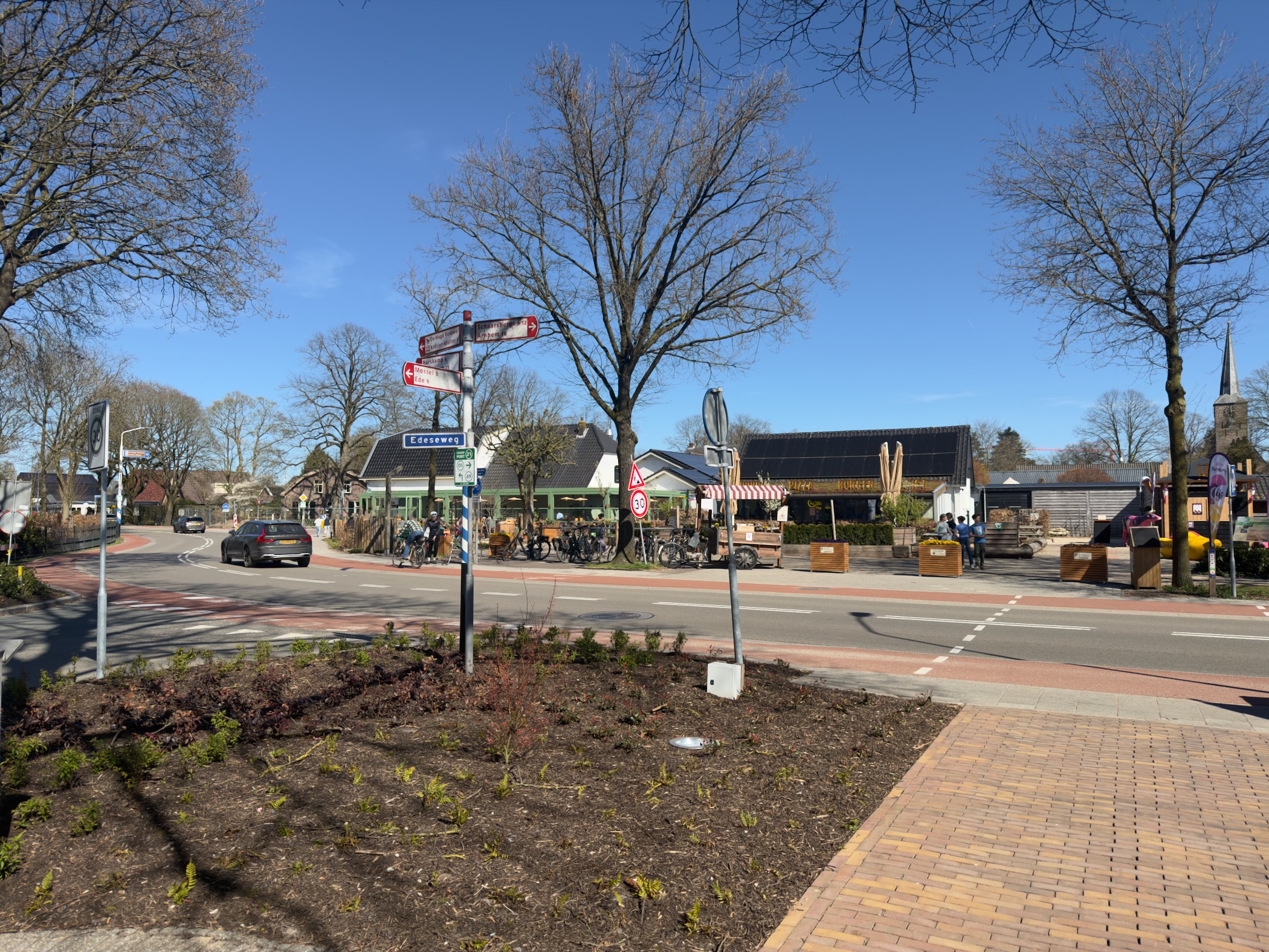
From Lunteren, experienced by its inhabitants as a close-knit village, you walk to what was designated the geographical center of the Netherlands in 1930. Afterwards, you go to the Wekeromse Zand sand drift, which is fenced off and grazed by a herd of mouflons to keep the heath and drifting sand area open.
Hike report
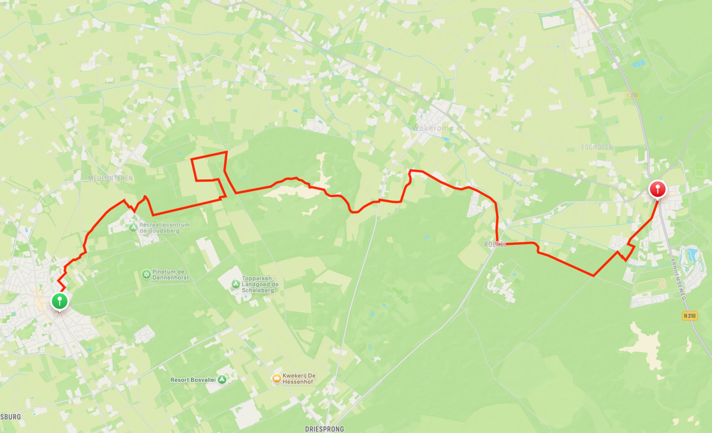
Map
Details
| Data | Value |
|---|---|
| From | Lunteren |
| To | Otterlo |
| Distance | 17.3 km |
| Duration | 4h 27m |
| Speed | 3.89 km/h |
| Elevation gain | 202 m |
| Weather | 9°C, Sunny, 55% humidity |
More info
- Trail details (Dutch)
- Lunteren
- Otterlo
Enjoyed this post?
Well, you could share the post with others, follow me with RSS Feeds and/or send me a comment via email.
Tags
Category:
Country:
Trail:
Year:
#100DaysToOffload 34 of 100
Hike goal 9 of 52