Utrecht Path part 05

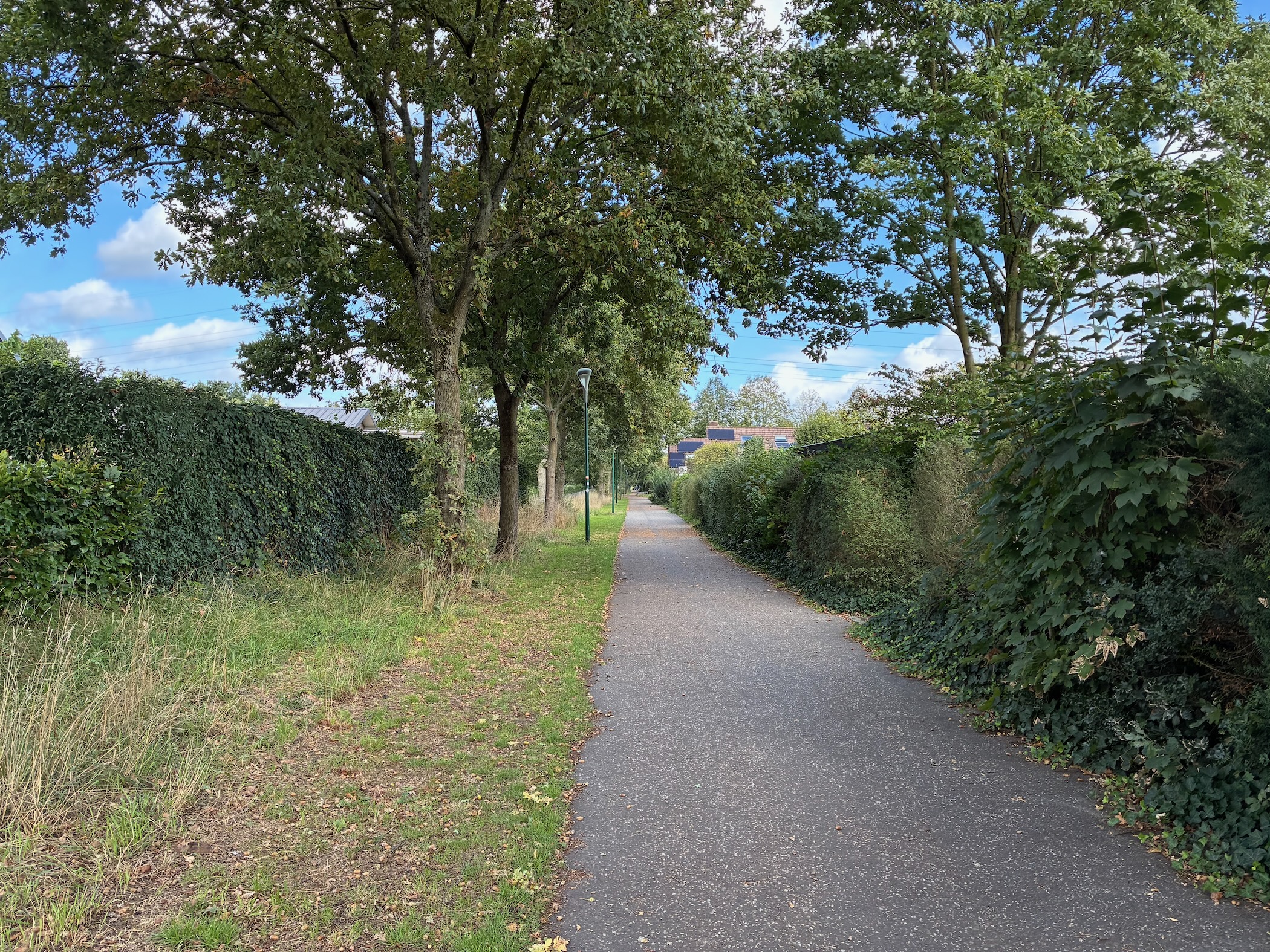
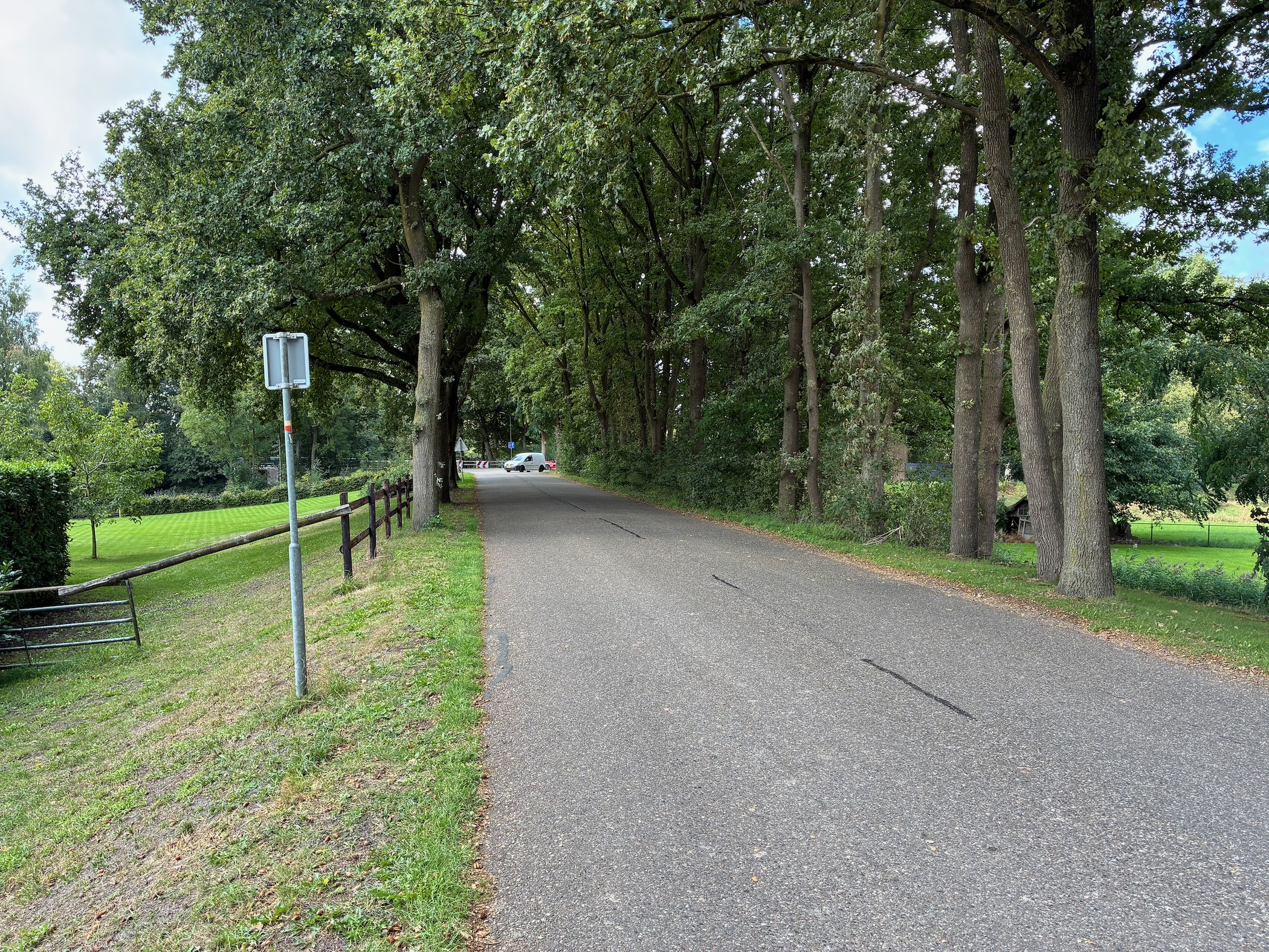
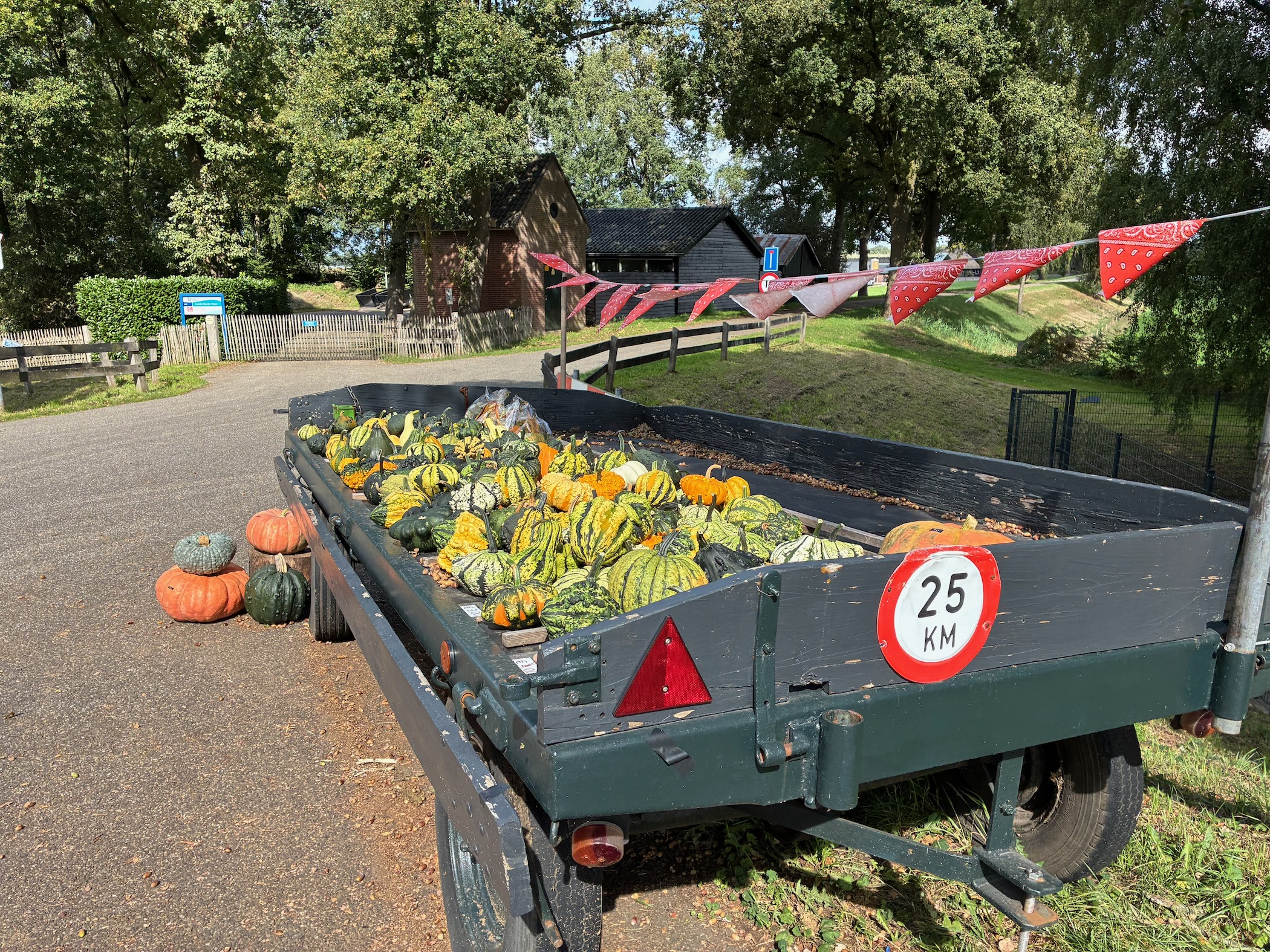
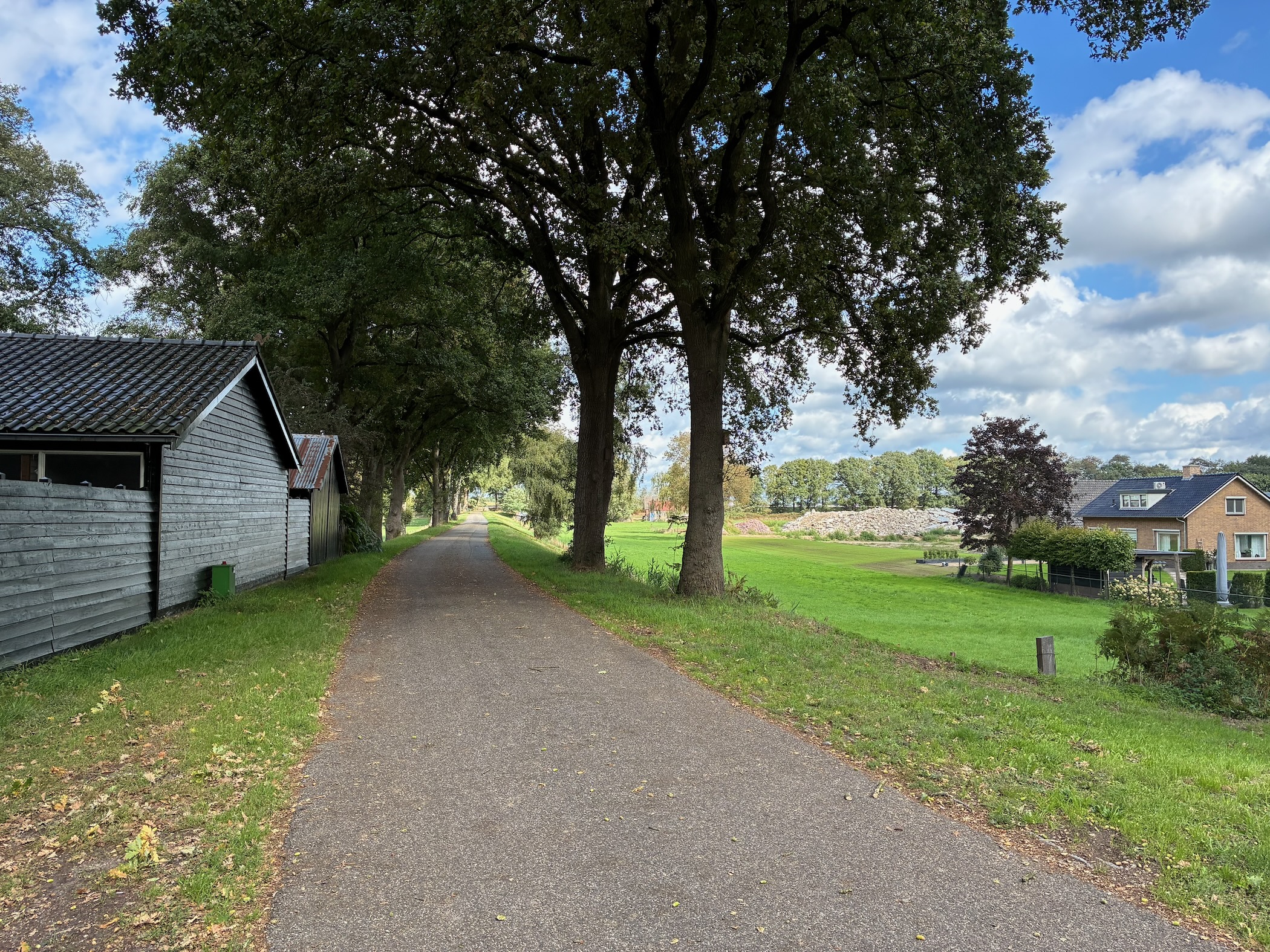
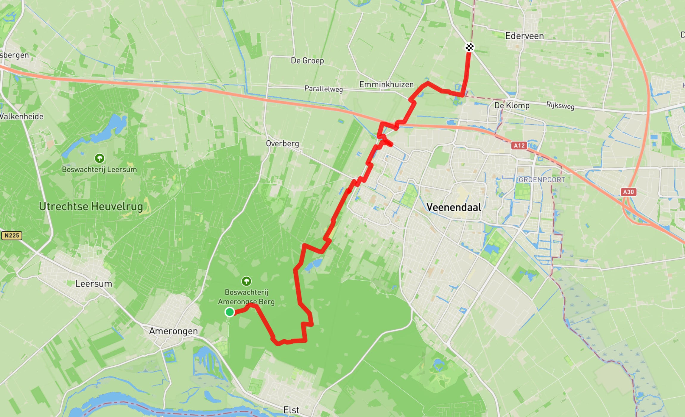
Hiked 13.6 kilometres from Amerongen to Renswoude.

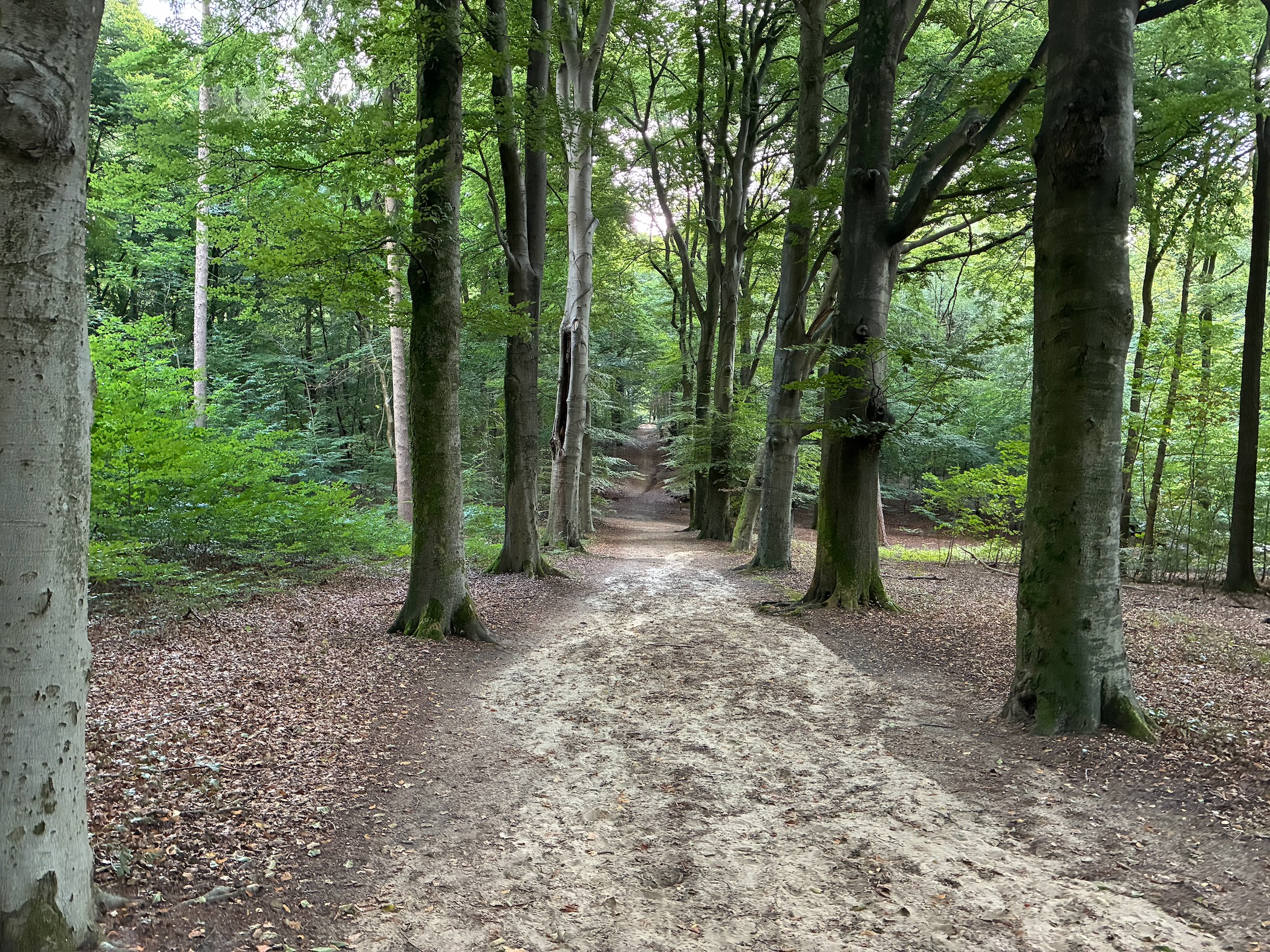
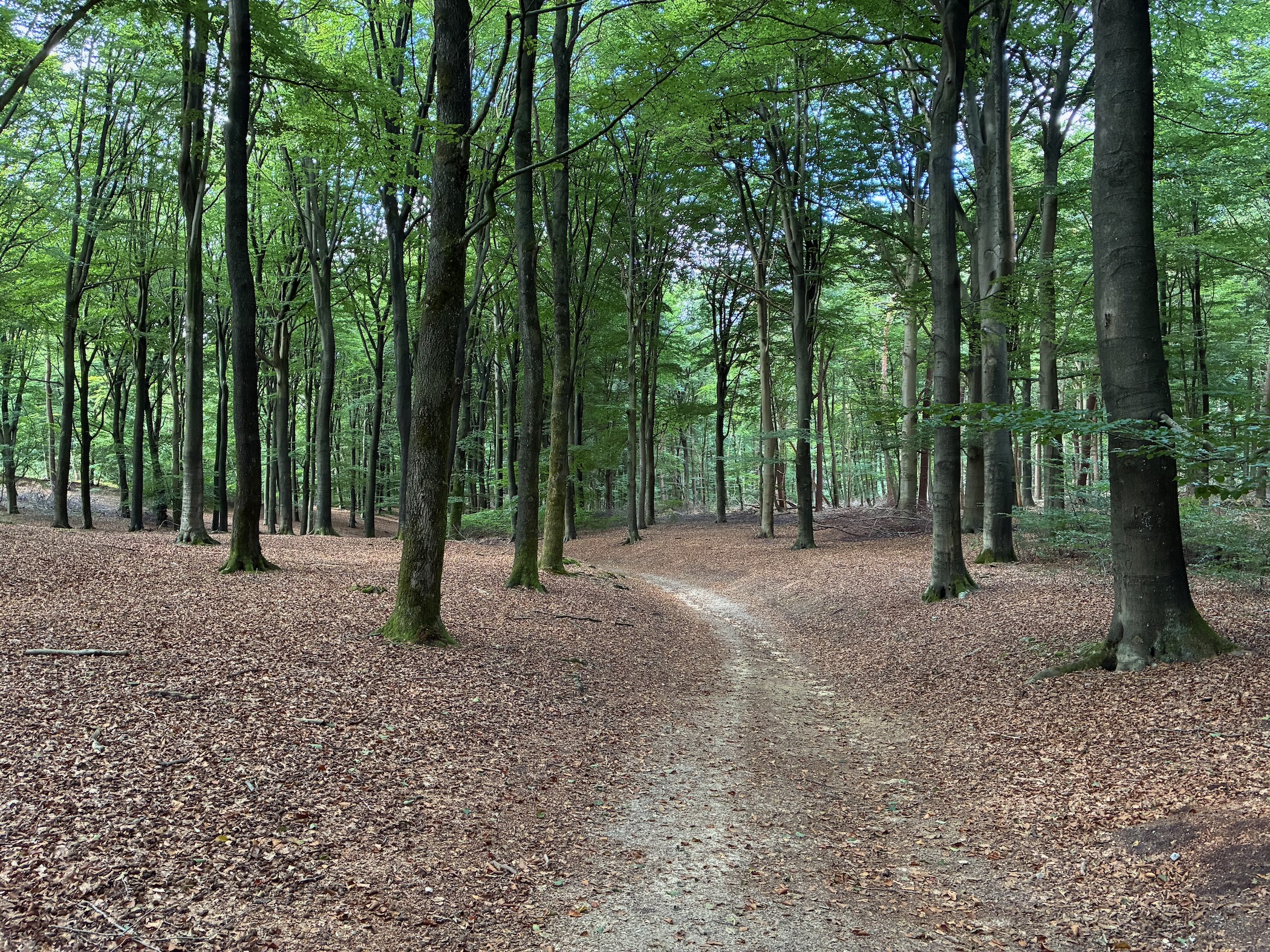
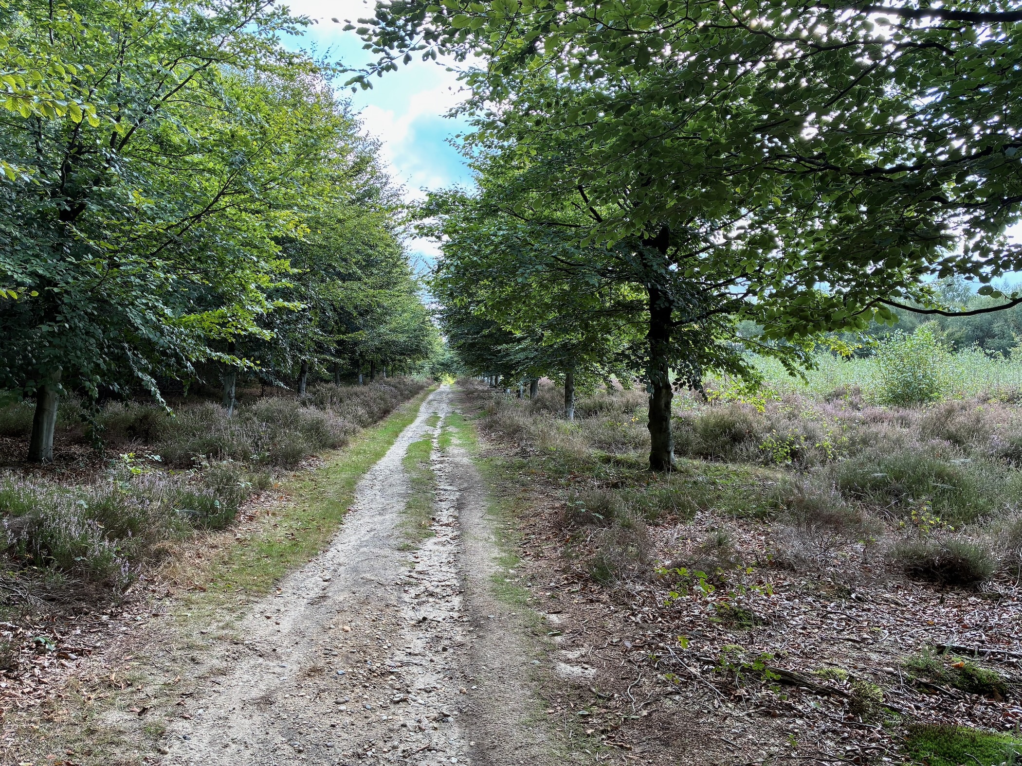
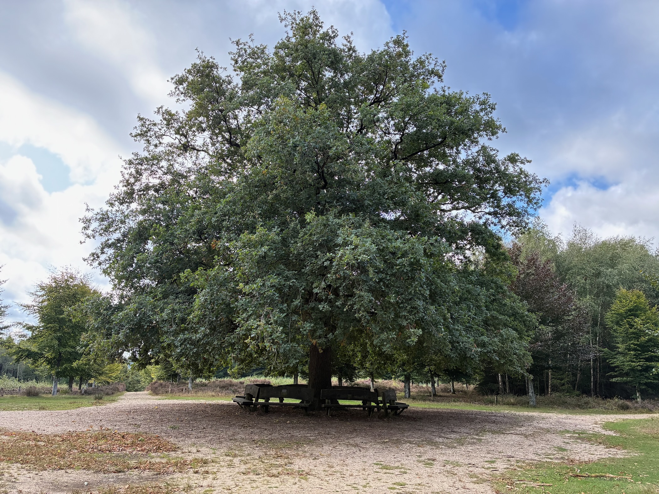
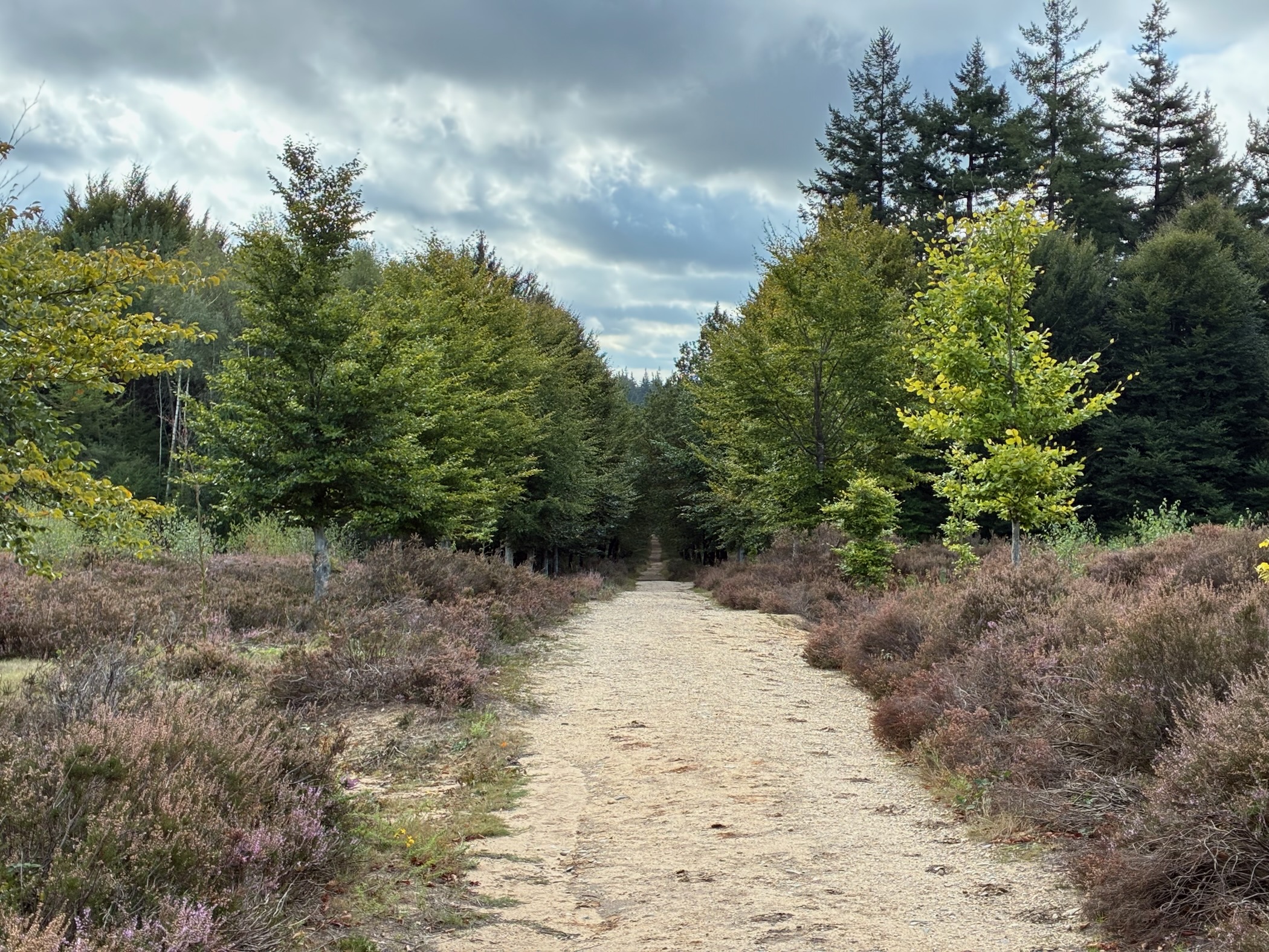
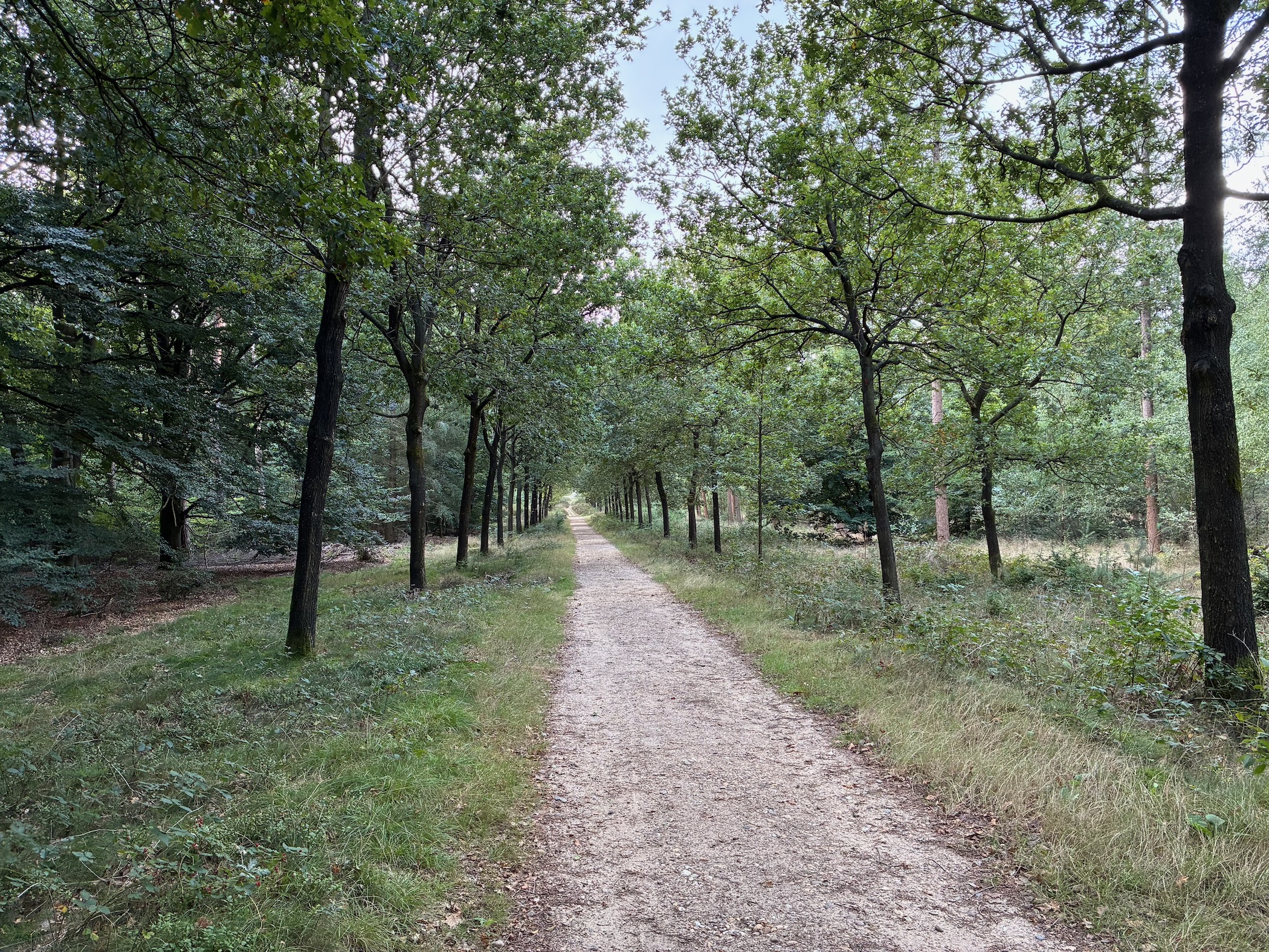
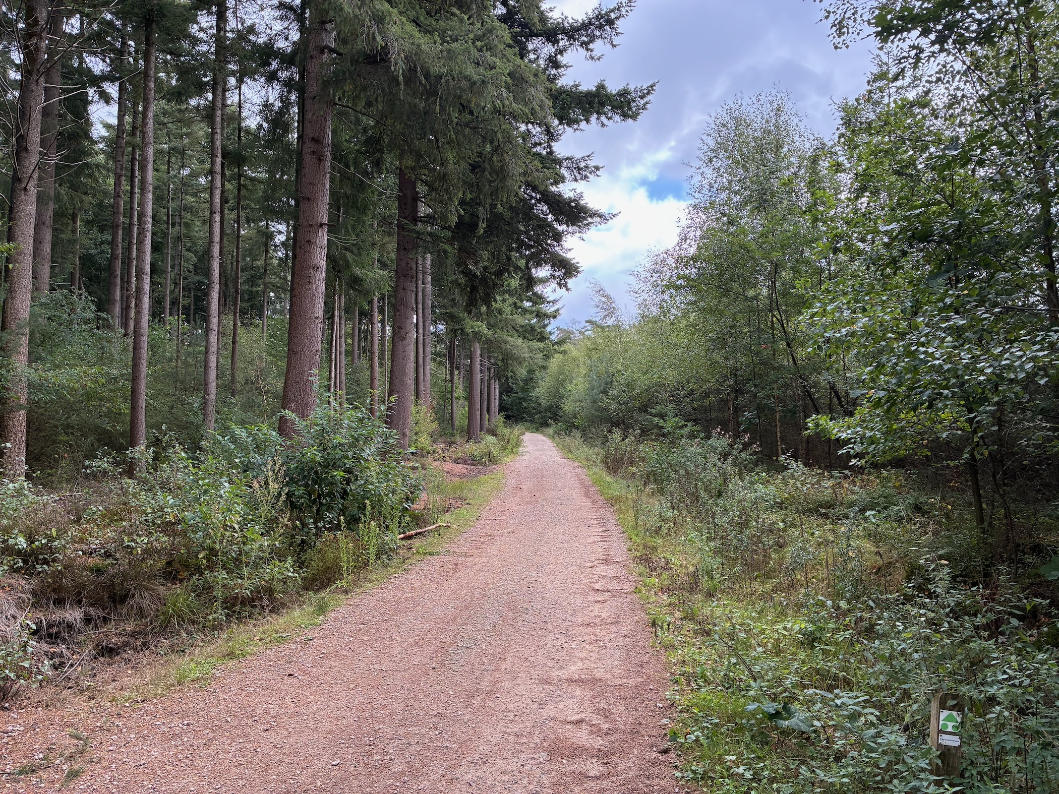
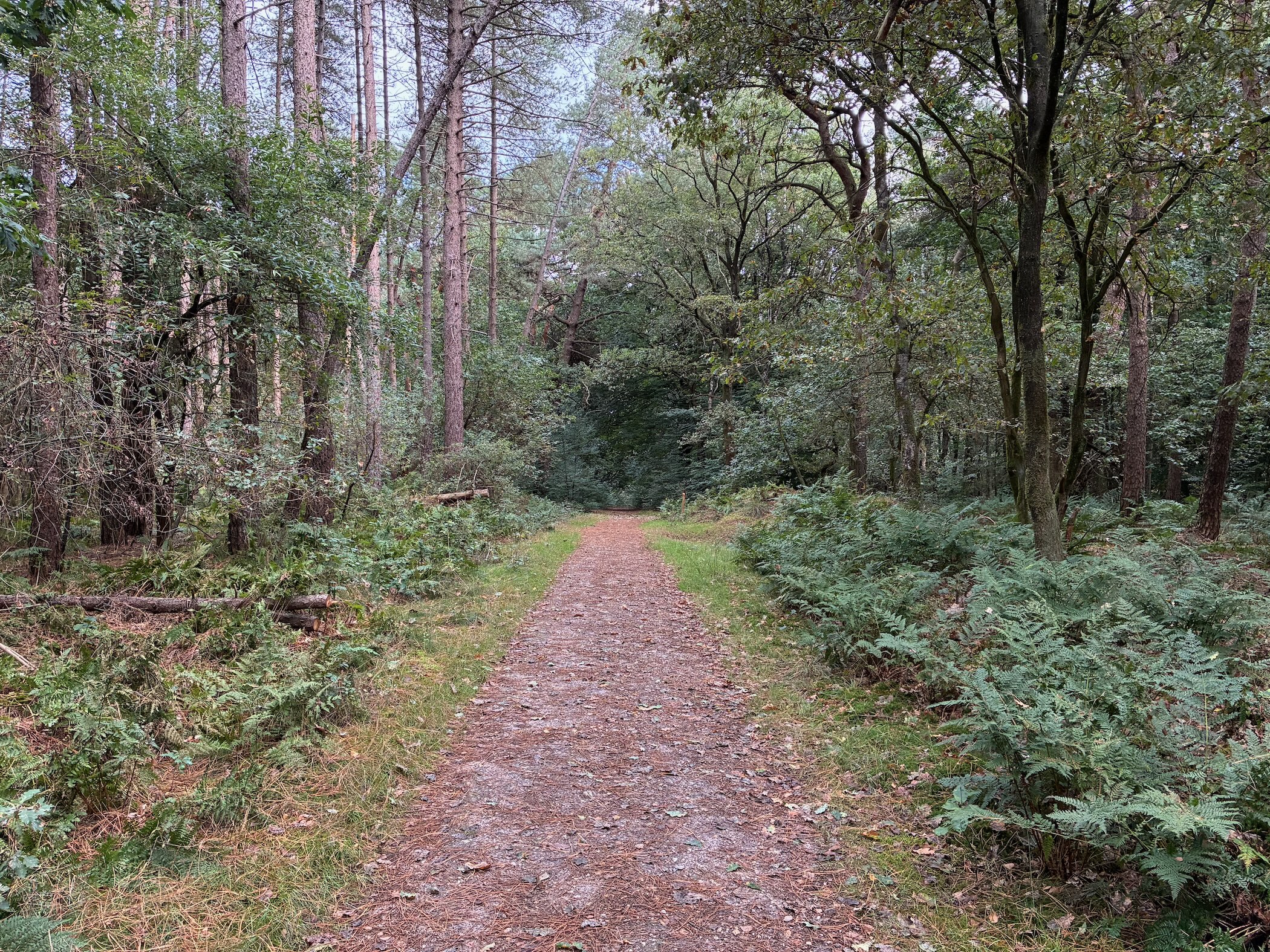
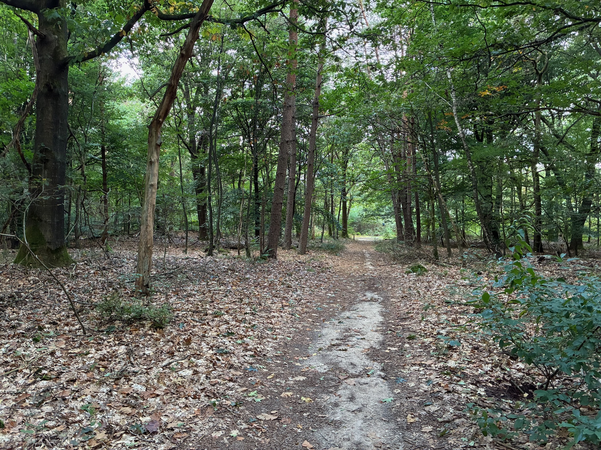
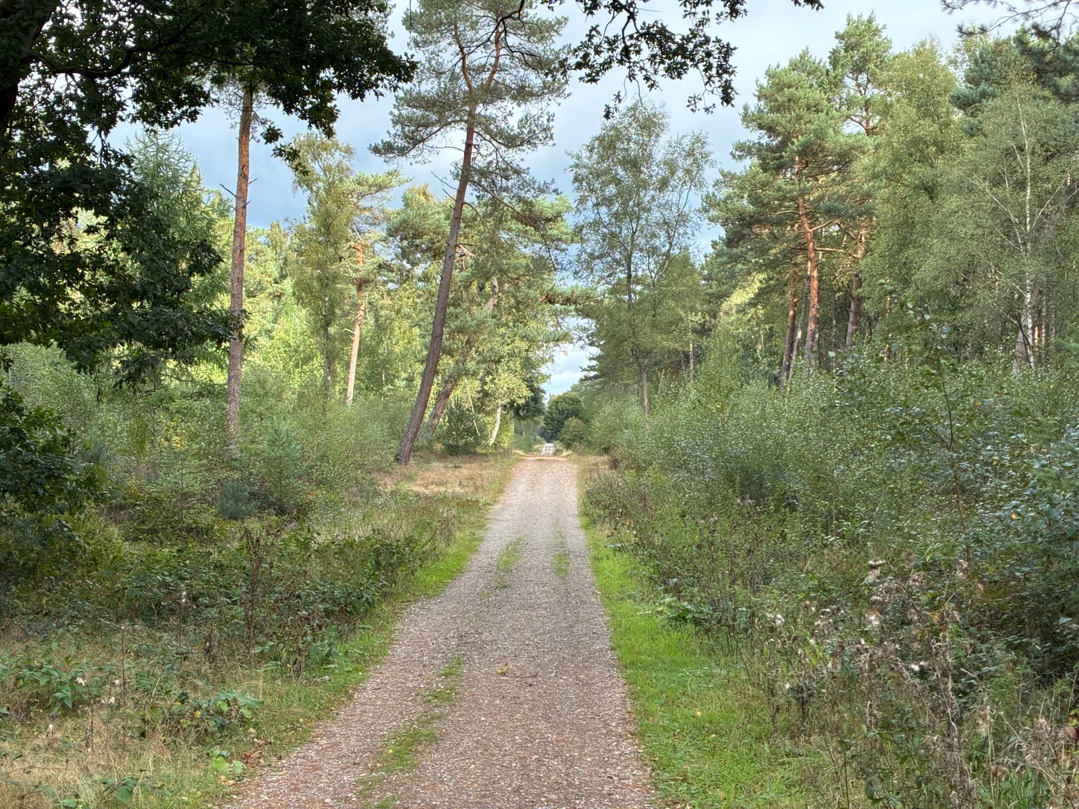
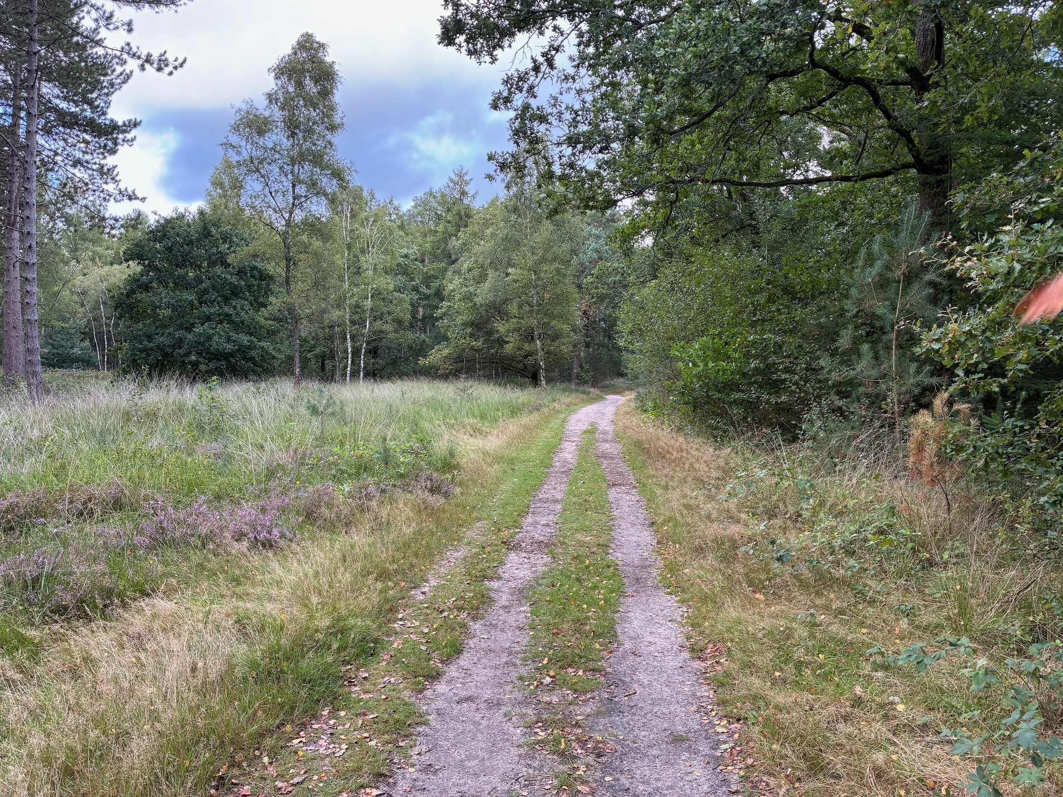
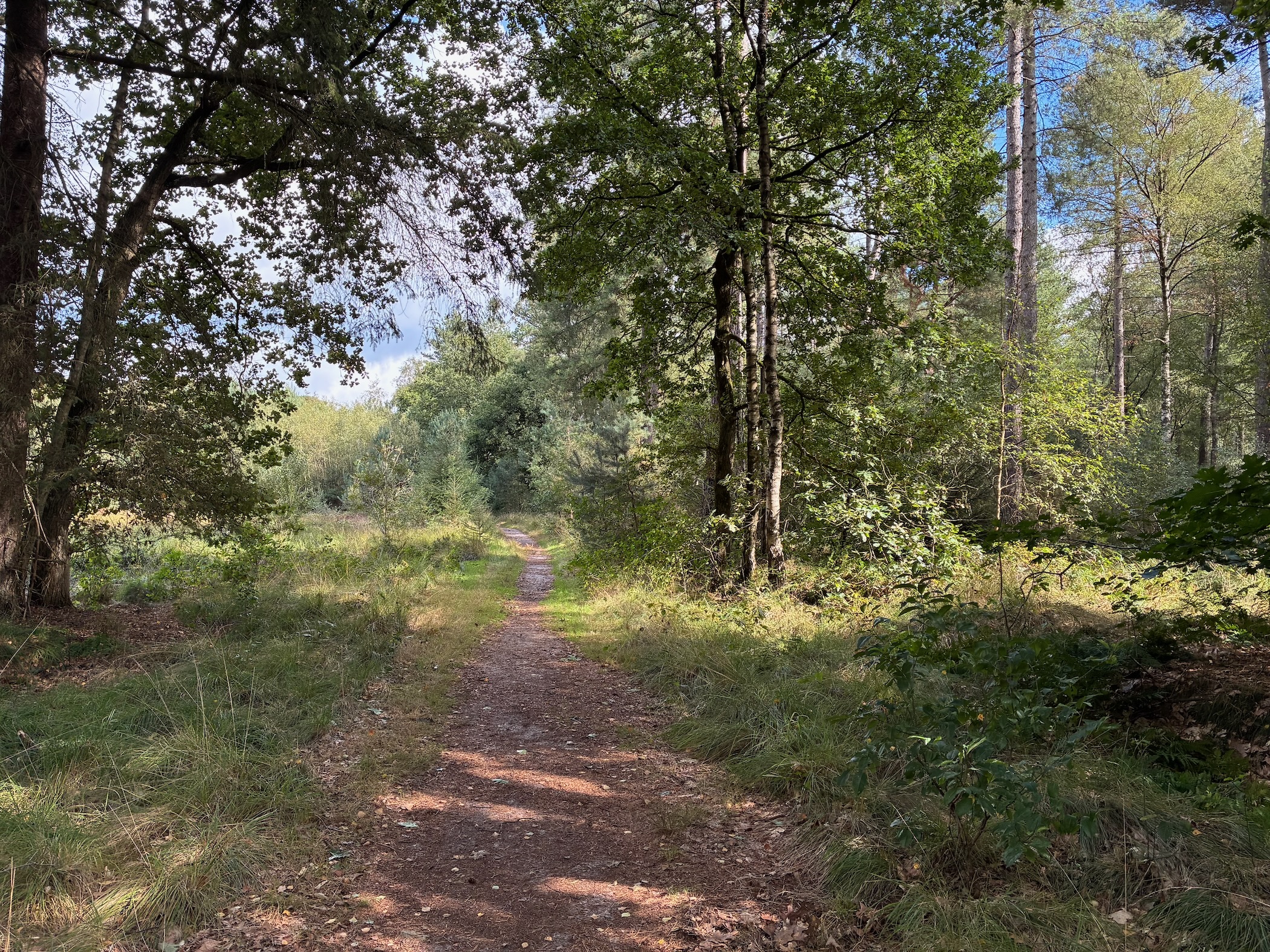
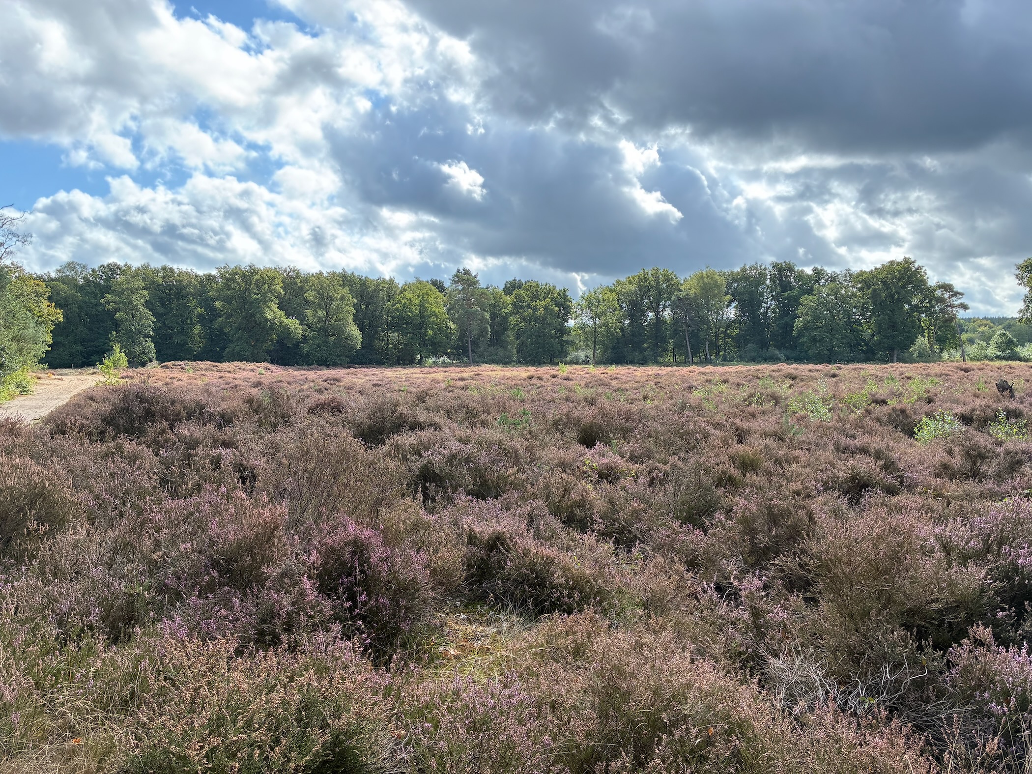
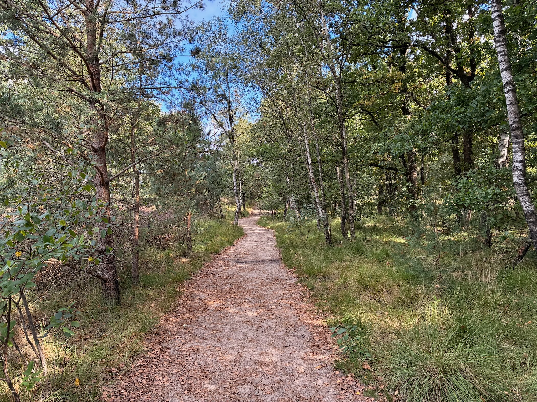
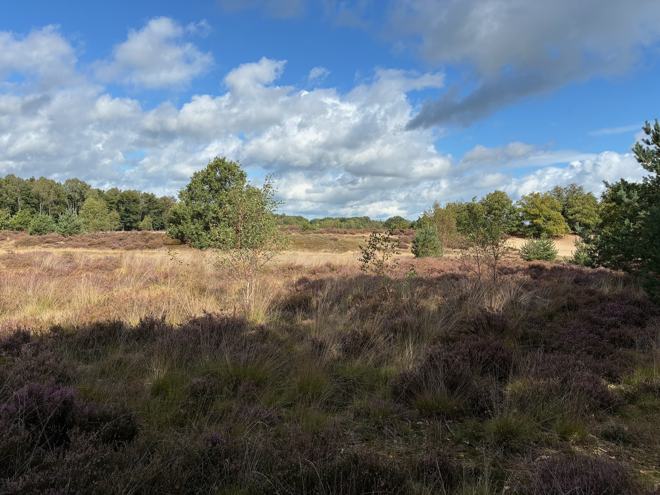
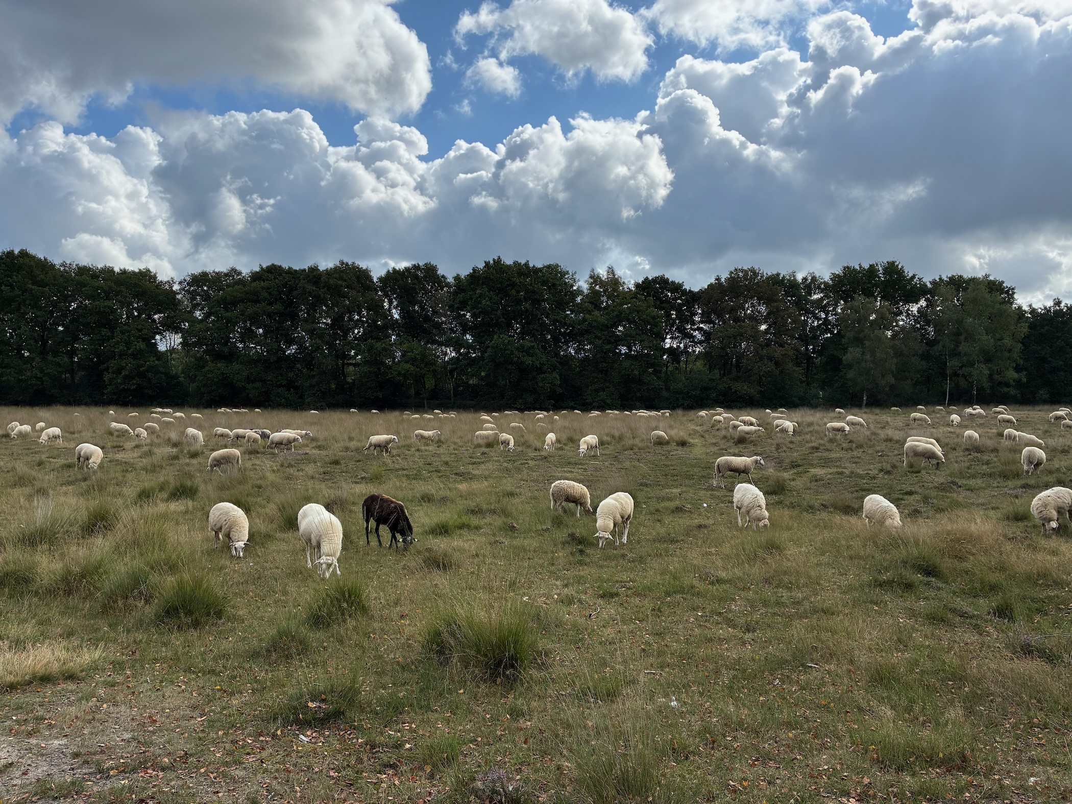
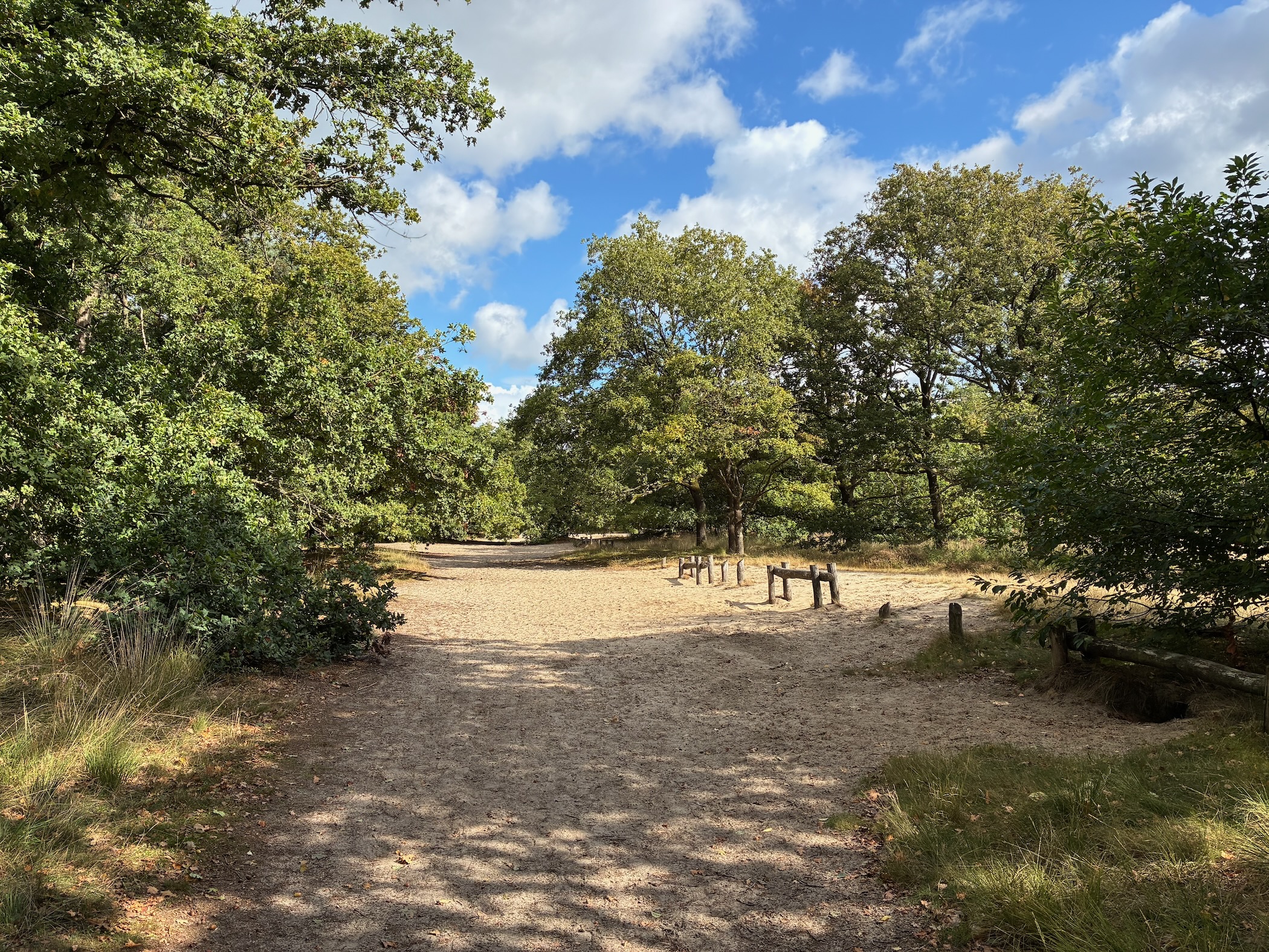
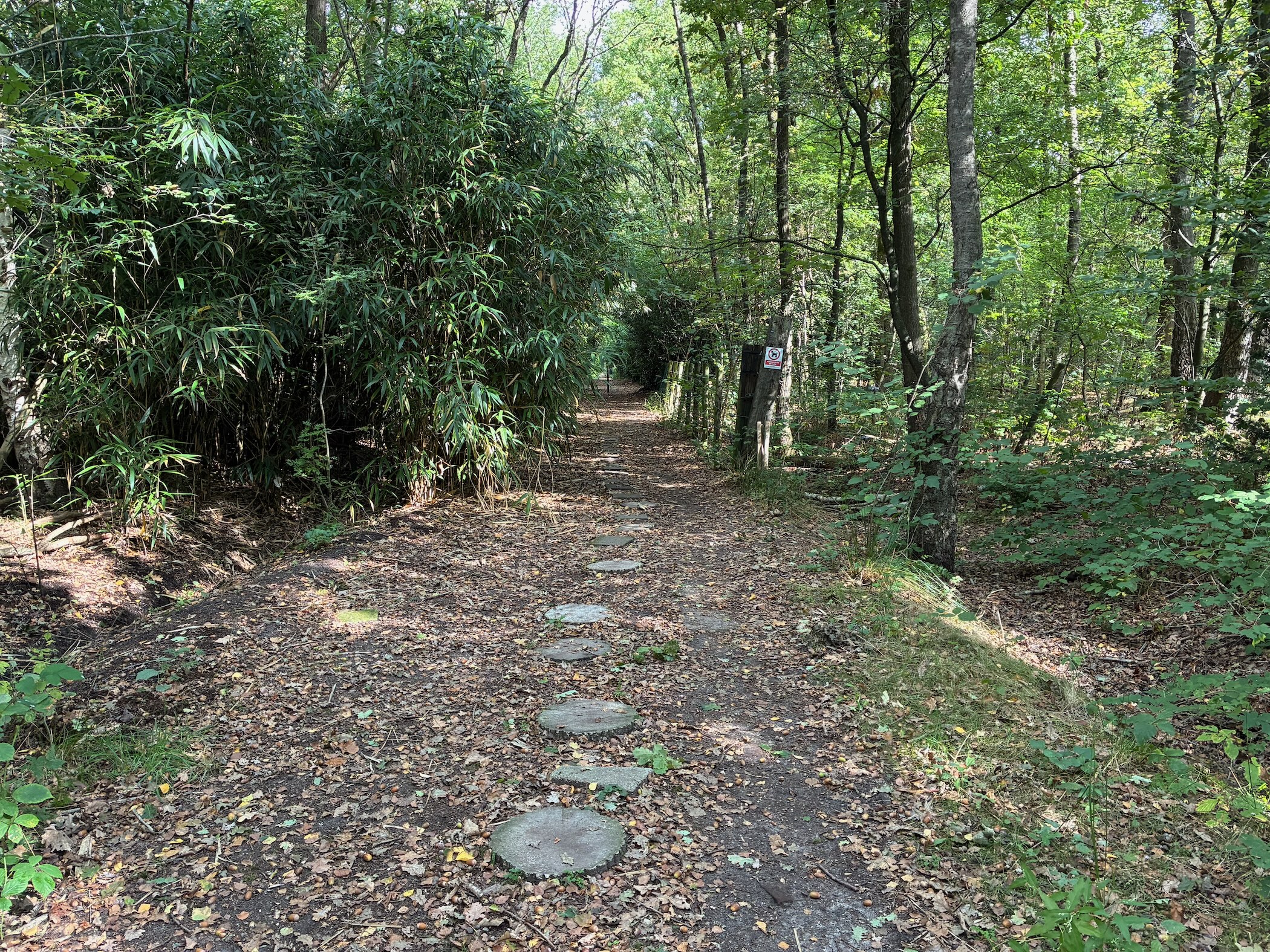
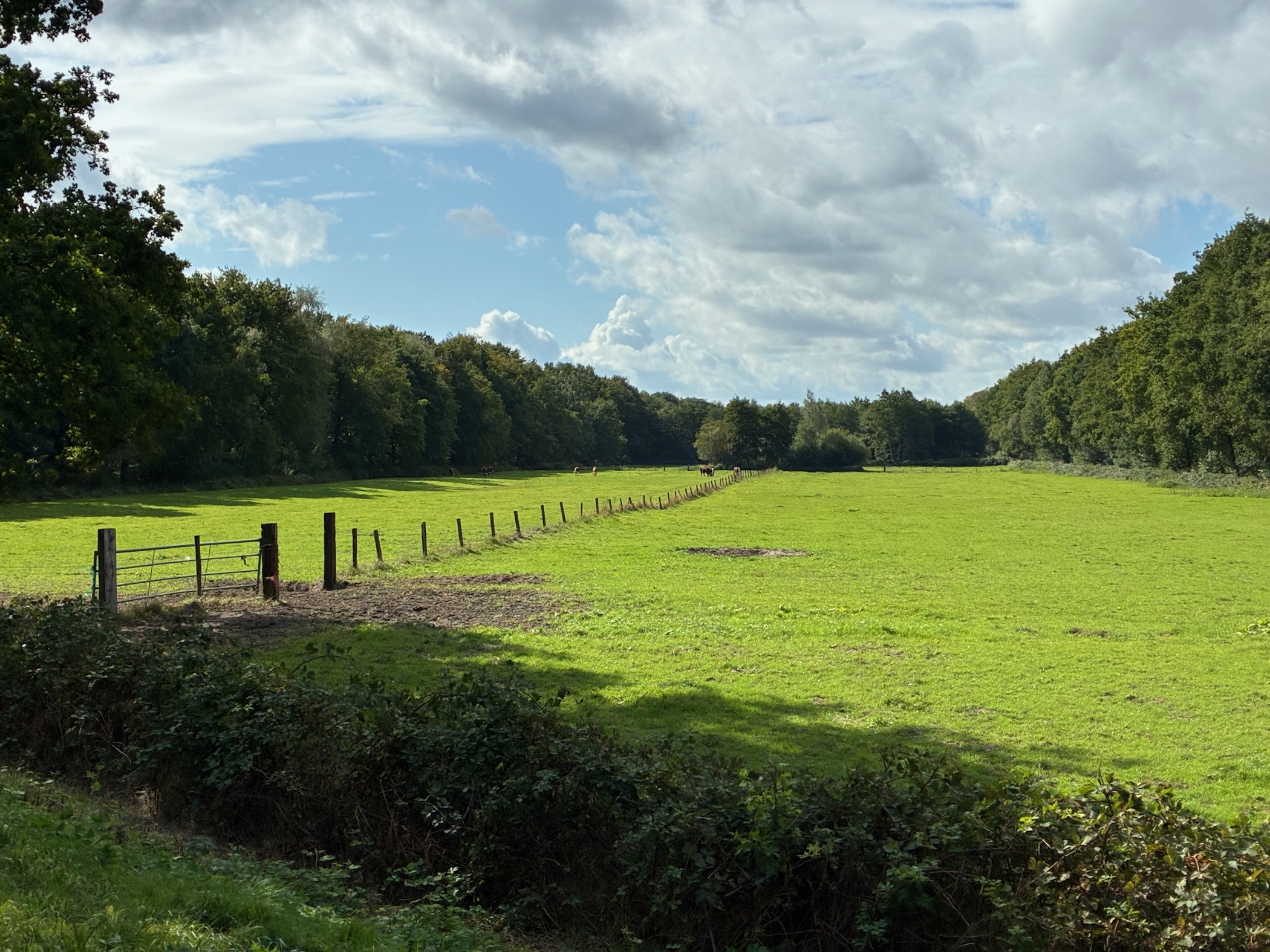
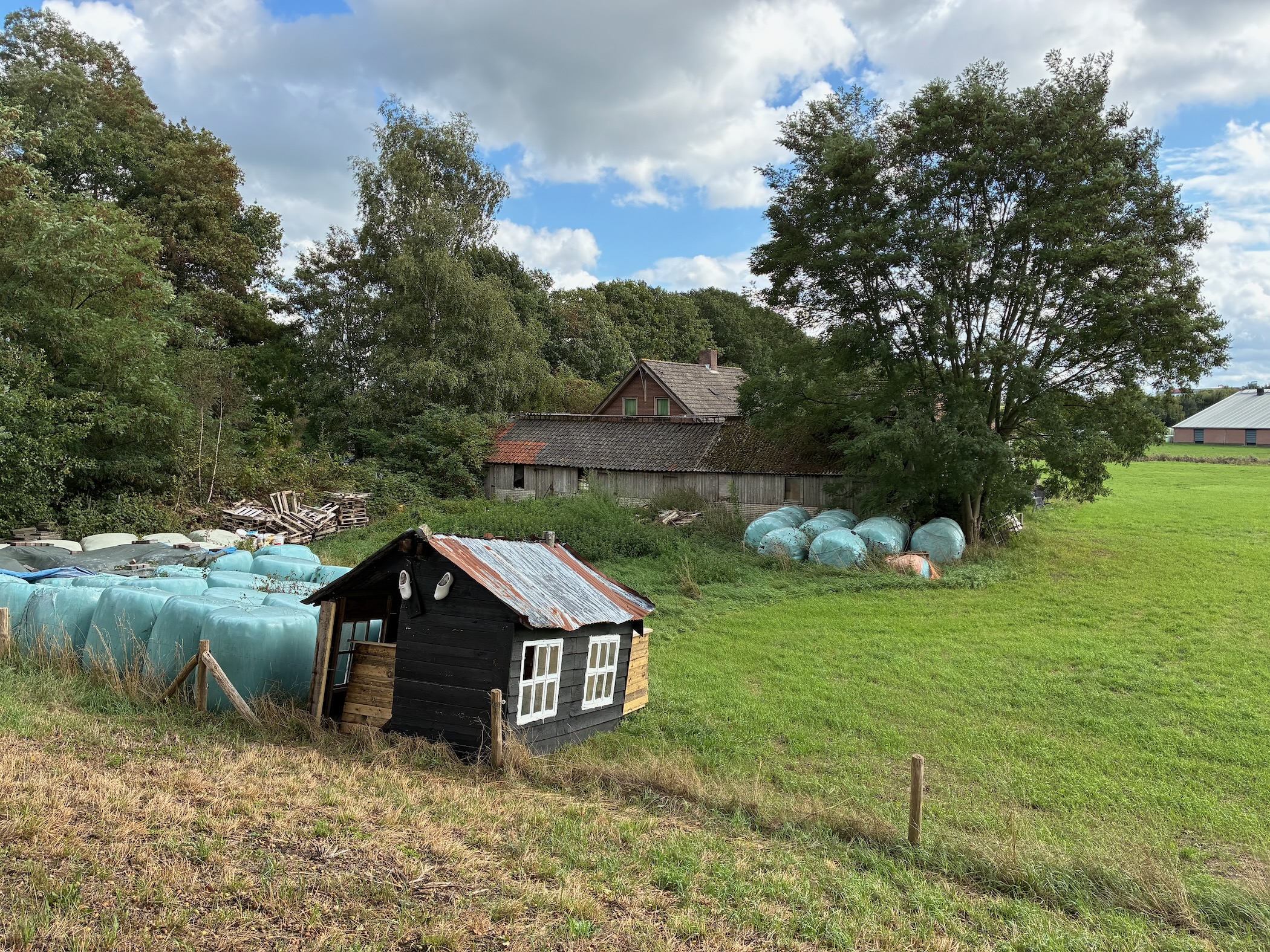
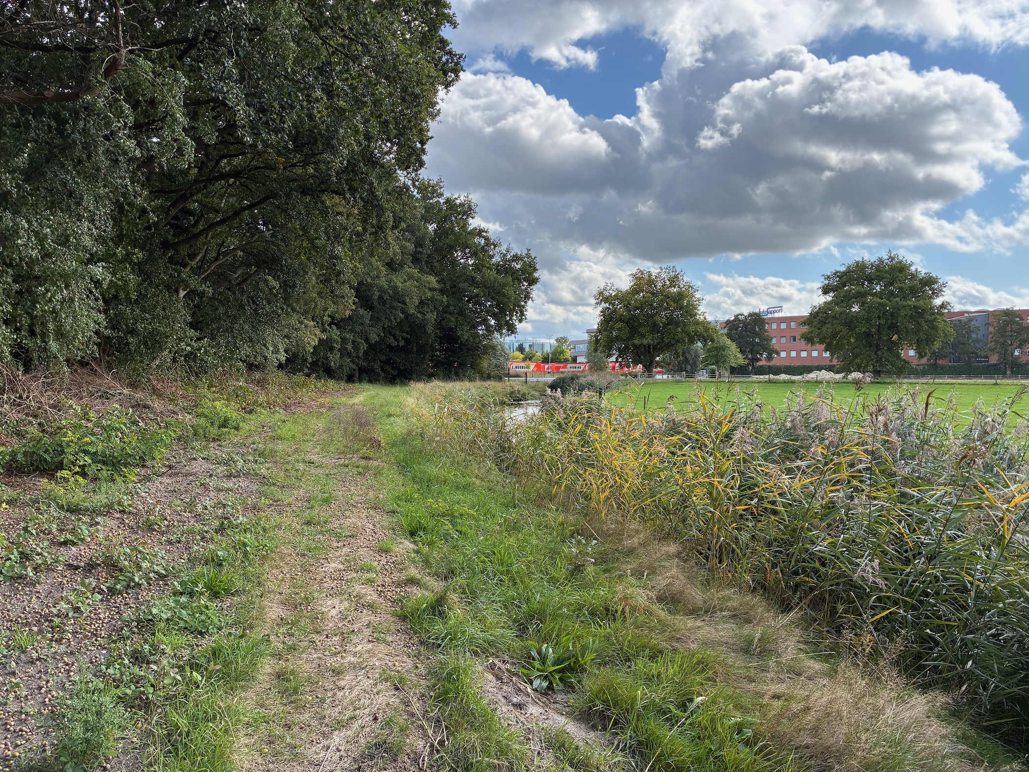
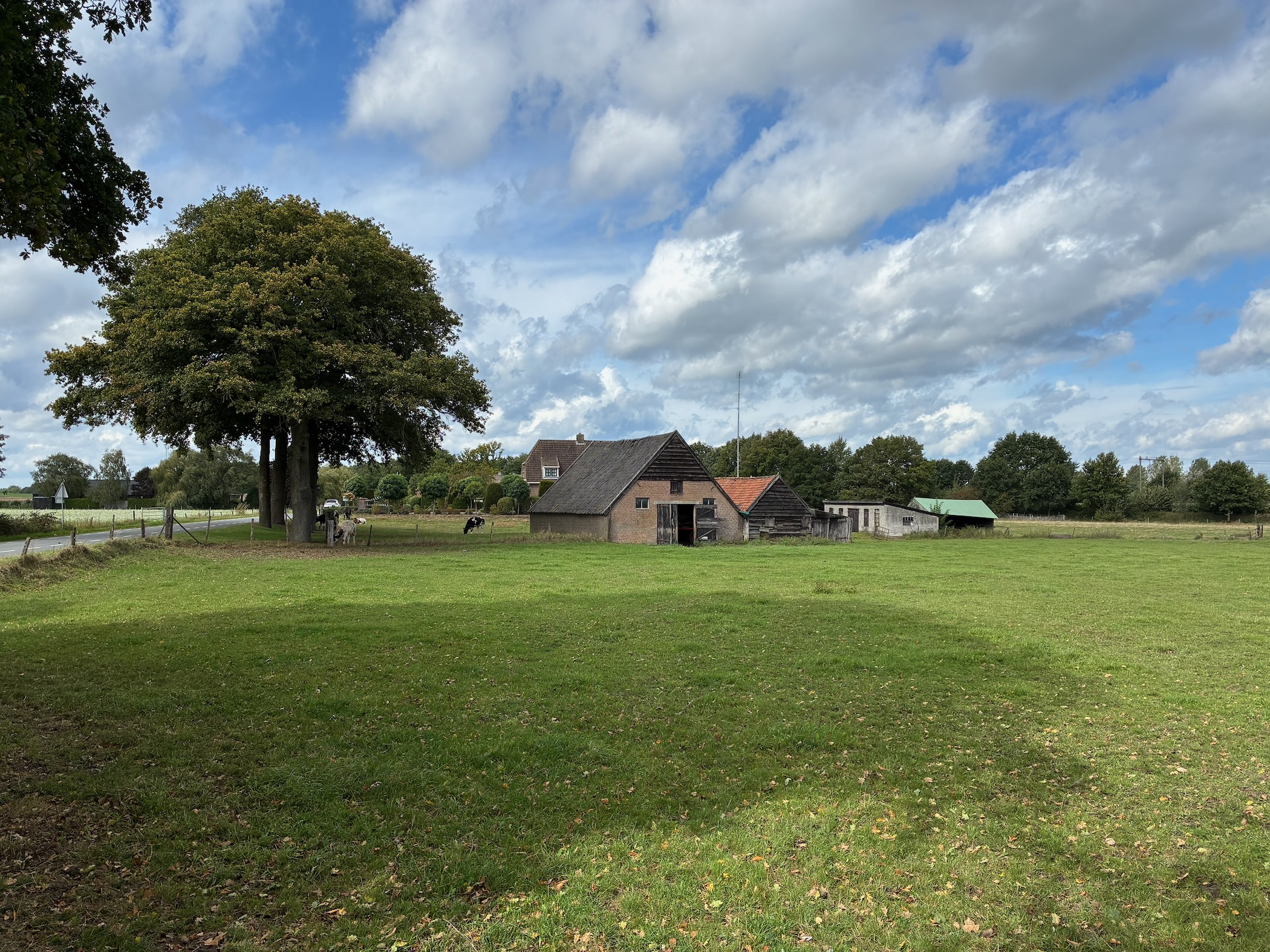
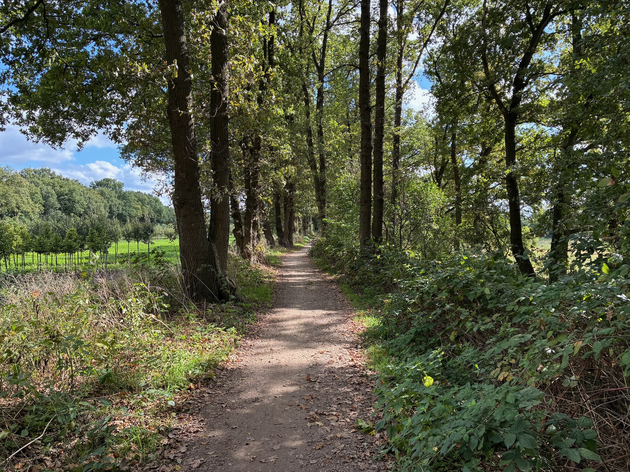
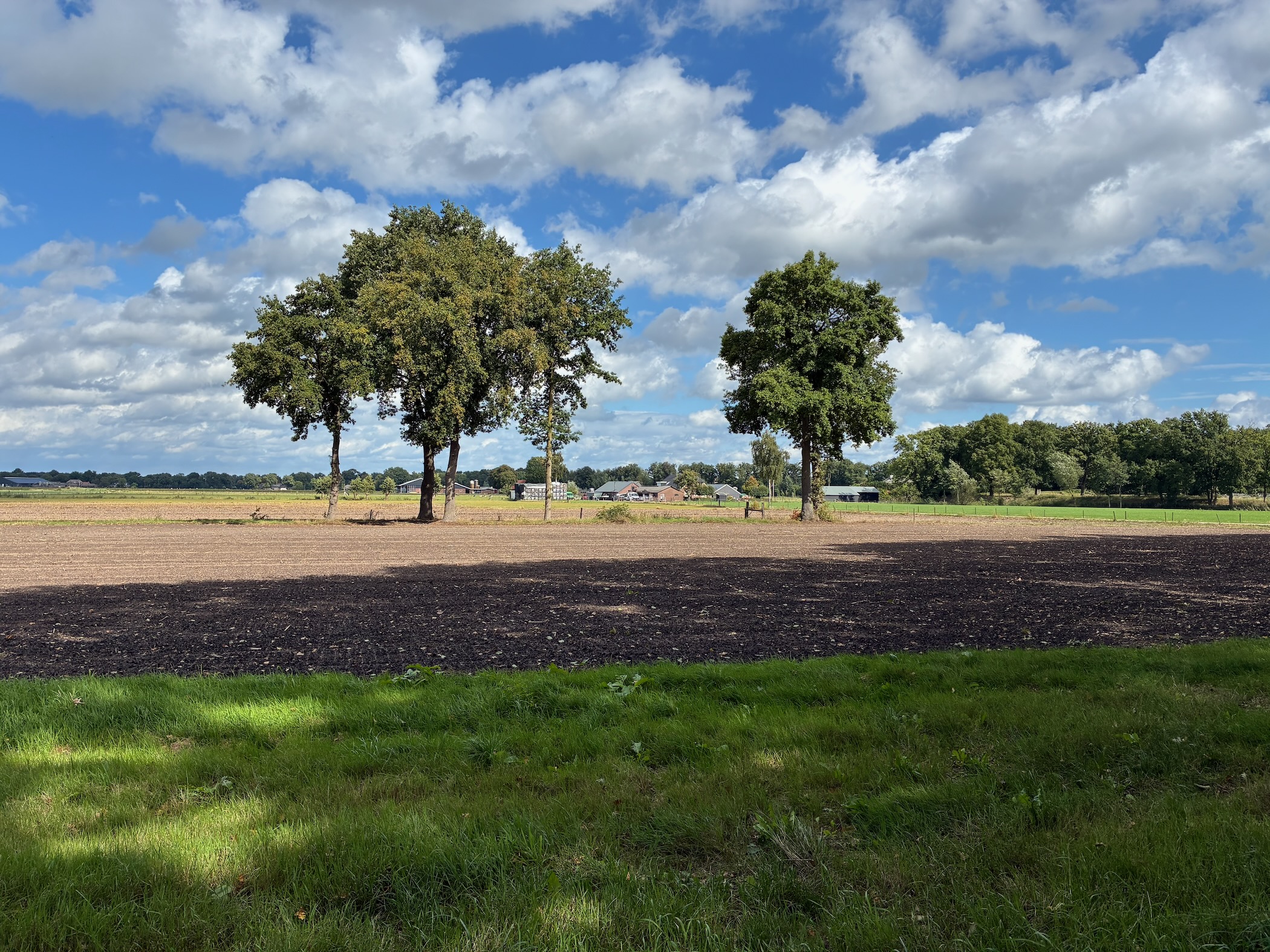
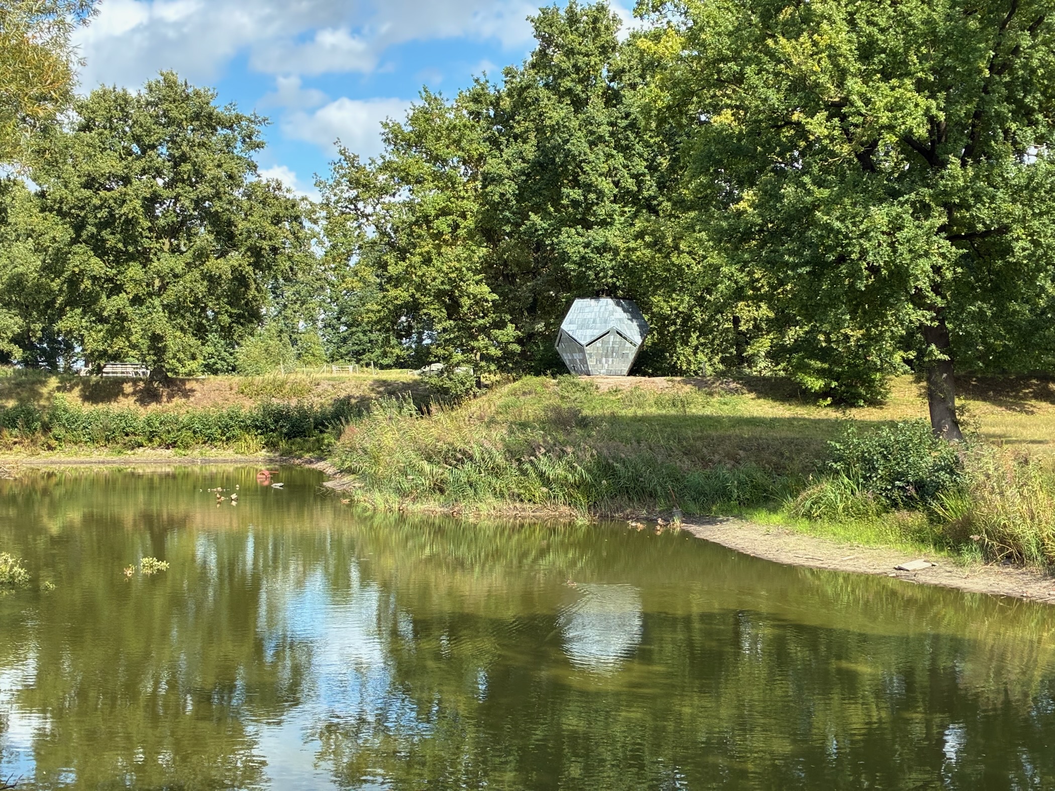
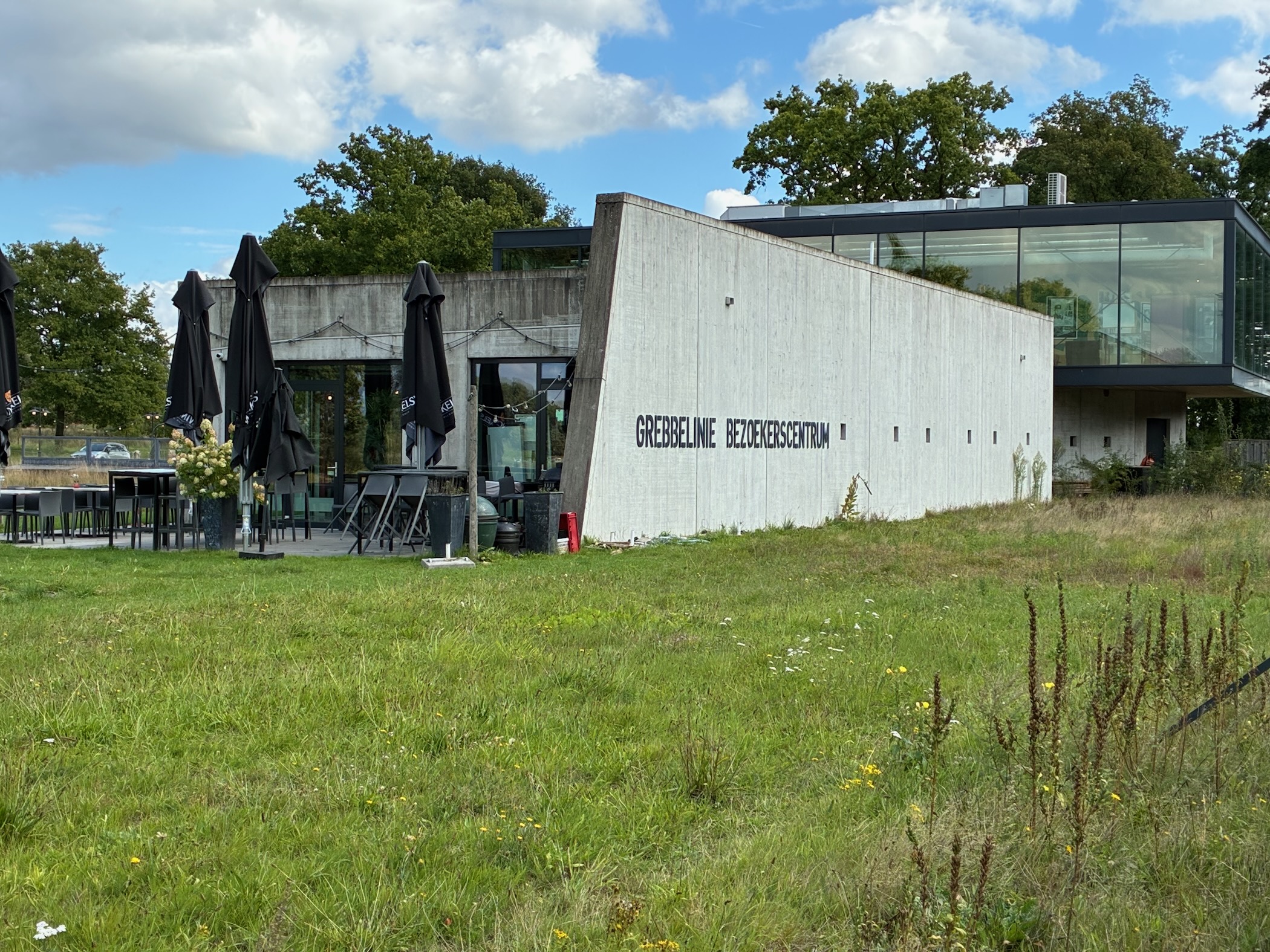
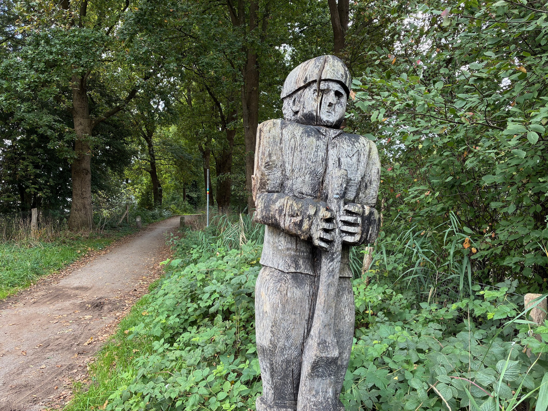
This section climbs considerably. You'll walk through the forests of the Utrechtse Heuvelrug and the Waterline, with several beautiful viewpoints, such as the hilltop of the Manage with its solitary oak tree. The Grebbelinie Museum is located at the end of this section.

Hike report

A wide path climbing through a mature beech forest with tall trunks and leaf litter on the ground A winding dirt path through a cathedral-like beech forest with tall straight trunks and a carpet of dry leaves A dirt track between rows of oak trees with heather on both sides, climbing gently through the Utrechtse Heuvelrug The solitary oak tree of the Manage hilltop, a large spreading oak with picnic benches beneath it on a sandy clearing A sandy path through faded heather and young beech and spruce trees with early autumn colours under a dramatic cloudy sky A straight gravel path lined with young oak trees through a green woodland clearing A wide forest path with tall spruce trees in a row on the left and mixed deciduous woodland on the right, with reddish-brown gravel underfoot A leaf-strewn path through mixed woodland with ferns growing on both sides, pine and deciduous trees overhead A muddy leaf-covered path through an oak woodland with dappled light and green undergrowth A gravel path winding through open pine woodland with low shrubs and grass on both sides A double-track gravel path through open heathland with birch trees, pine woodland, and a hint of a building on the right under a cloudy sky A sunlit dirt path through mixed birch and oak woodland with dappled shadows and green undergrowth A wide expanse of purple-pink heather in bloom stretching to a tree line under a dramatic sky with cumulus clouds A sandy path through birch woodland with heather and dry grass on either side, sunlit and inviting Open heathland with purple heather, scattered birch trees, and a sandy patch under a blue sky with dramatic white clouds A flock of sheep grazing on open heathland with a tree line in the background under a dramatic cloudy sky A sandy clearing surrounded by oak trees with a wooden bench visible in the shade, dappled sunlight on the ground A leaf-strewn path with stepping stones through woodland with bamboo plants and deciduous trees A green fenced meadow bordered by mature trees on both sides, with sunlight and dramatic clouds above Railway tracks stretching into the distance through green countryside, with overhead power lines and trees on both sides under a blue sky A paved path between neatly trimmed hedges and trees, leading toward a village under a partly cloudy sky A tree-lined country road with mature oaks creating a green canopy, fenced meadows on both sides A farm trailer loaded with colourful pumpkins and gourds parked by a roadside, with bunting decorations and trees behind A gravel lane between a wooden barn and large oak trees, with green meadows and houses in the background under a cloudy sky A small black wooden playhouse in a farmyard with wrapped silage bales and an old barn with a tiled roof in the background An overgrown area with stacked roof tiles and a small shelter among trees and bushes A grassy path along the edge of woodland with a ditch, leading toward buildings in the distance under a dramatic cloudy sky A farmstead with a large oak tree, green meadow with grazing cows, and farm buildings under a blue sky with white clouds A shaded dirt path through a tree-lined avenue with green foliage and dappled sunlight Three large trees standing in a freshly plowed dark brown field, with a green grass verge in the foreground under a blue sky with clouds A geometric sculpture on a grassy embankment beside a moat, surrounded by mature trees, part of the Grebbelinie fortifications The modern concrete and glass building of the Grebbelinie Bezoekerscentrum (visitor centre) set on a grassy slope under a blue sky A carved wooden statue of a soldier in military gear standing among trees and bushes beside a forest path

Map

Map of Utrecht Path part 05

Details

DataValue
FromAmerongen
ToRenswoude
Distance13.6 km
Duration3h 24m
Speed4.43 km/h
Uphill96 m
Downhill135 m
Weather14°C, cloudy, 81% humidity

More info


Enjoyed this post?

Well, you could share the post with others, follow me with RSS Feeds and/or send me a comment via email.


Tags

Category:

Country:

Year: